Fishes Cranberry River, Greenbrier River
River · Allegheny Mountains · West Virginia
Greenbrier River Fishing Guides
The longest undammed river in the eastern United States, running from Durbin through Marlinton and Ronceverte to the New River, a smallmouth float with trout in the cold upper reaches.
Gauge location. Map data © OpenStreetMap contributors.
Guides on the Greenbrier River
Claimed profiles take booking requests. Unclaimed profiles are built from public records so the river is never empty; the guide can claim or remove one any time.
About the Greenbrier River
The Greenbrier runs one hundred and sixty-five miles from the high country near Durbin south through Marlinton, Ronceverte and Alderson to the New River at Hinton, and it does so without a single dam. That makes it the longest undammed river in the eastern United States and gives it something few Appalachian rivers still have: a natural flow regime, a healthy gravel bed and a smallmouth population that reproduces on its own.
Most guided days are smallmouth days, floated in a raft or canoe through long gravel-bar and ledge water with hardwood ridges on both banks. The fish are wild, they average respectable rather than enormous, and they eat topwater with enthusiasm from June through October. Rock bass fill in between them, muskellunge hold in the deeper pools and get targeted by specialists, and the upper river above Marlinton stays cold enough to hold trout, with stocking in the accessible reaches and wild fish in the tributaries.
The Greenbrier River Trail, a rail trail of nearly eighty miles, follows the river from Cass to Caldwell and provides bank access along the whole upper and middle river. Between that and the frequent bridges and low-water crossings, this is an easy river to reach on foot as well as by boat.
The Alderson gauge reads most of the basin. Summer floating flows in the low hundreds of cfs are typical and wade well; the river gets thin in a dry August and can require dragging. Spring flows and storm response are quick and substantial, and the river colors fast and clears within a couple of days.
Marlinton, Ronceverte and Lewisburg cover lodging, food and outfitters.
This water needs a real photo
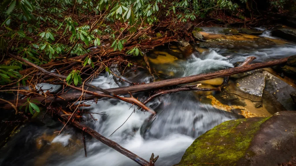
The photo at the top of this page is not Greenbrier River.
It is a regional stand-in, honestly captioned but generic — we will not put a name to a river we cannot prove. Send us a photograph you took here and it replaces the stand-in, with your credit on it.
Pioneer badgeUnclaimed
Add a photo of this water
Landscape, not fish — the water itself. Reviewed by hand before it appears. The first one published here earns the Pioneer badge.
Fished this water? Add a photo
Reviewed by hand before it appears. Pick the water, not the spot — we never publish exact locations.
Access
Durbin and Cass: upper river access, trout water and the head of the rail trail.
Marlinton: town access and a major rail trail trailhead.
Buckeye and Seebert: accesses near Watoga State Park.
Renick and Anthony: middle river accesses on the rail trail corridor.
Ronceverte and Caldwell: accesses near Lewisburg at the bottom of the trail.
Alderson: town access at the gauge; Hinton sits at the New River confluence downstream.
Seasons
March through May: high water, pre-spawn smallmouth and stocked trout on the upper river.
June through August: the main float season, topwater smallmouth, low clear water by late summer.
September and October: the best month of the year, falling water and aggressive fish, fall color.
November through February: musky water; smallmouth in the deep pools.
From the water
No logged trips yet. Be the first to put this water on your map.
Log this water
Fished it or cleaned it? Log in or create a free account to log a trip with photos and earn the waterway badge.
Questions
What is the current flow on the Greenbrier River?
As of Oct 19, 3:45 am, the USGS gauge GREENBRIER RIVER AT ALDERSON, WV reads 1,370 cfs, the 84th percentile for this date, with water temperature 56.3 F. Conditions update every 15 minutes.
What species can you catch on the Greenbrier River?
Anglers target Brown Trout, Channel Catfish, Muskellunge, Rainbow Trout, Rock Bass, Smallmouth Bass on the Greenbrier River in West Virginia.
Are there fishing guides on the Greenbrier River?
GuidedFloats lists 2 guides and outfitters on the Greenbrier River. Claimed profiles accept booking requests; unclaimed profiles are built from public records and link to the business.
Where can you access the Greenbrier River?
Durbin and Cass: upper river access, trout water and the head of the rail trail. Marlinton: town access and a major rail trail trailhead. Buckeye and Seebert: accesses near Watoga State Park. Renick and Anthony: middle river accesses on the rail trail corridor. Ronceverte and Caldwell: accesses near Lewisburg at the bottom of the trail. Alderson: town access at the gauge; Hinton sits at the New River confluence downstream.
When is the best time to fish the Greenbrier River?
March through May: high water, pre-spawn smallmouth and stocked trout on the upper river. June through August: the main float season, topwater smallmouth, low clear water by late summer. September and October: the best month of the year, falling water and aggressive fish, fall color. November through February: musky water; smallmouth in the deep pools.
Where are the fishing regulations for the Greenbrier River?
Regulations change by season and section. Read the current rules on the West Virginia agency site: https://wvdnr.gov/fishing/fishing-regulations/