Firehole River Fishing Guides
The strangest trout river in North America, running warm through the Yellowstone geyser basins and fishing like an English chalkstream.
Map of the Firehole River
26 numbered points: 5 access points, 6 campsites, 2 parks and conservation areas, 1 agency office, 3 regulation section limits, 3 hazards, 5 springs, 1 USGS gauge. Tap a marker for details. Reviewed Sep 23, 2026.
- Access / boat ramp (5)
- Campsite (6)
- Park / conservation area (2)
- Agency / conservation office (1)
- Regulation section limit (3)
- Dam / hazard (3)
- Spring (5)
- USGS gauge (1)
Print it. Bag it. Bring it.Phones die, screens crack, and most of this water has no signal. Print this map, fold it into a zip-top bag or dry bag with your license, and you have a backup your electronics can’t give you. Every marker is numbered so you can say exactly where you are.
Open the printable mapAll 26 points on this map
| # | Point | Type | Lat, Lon | Notes |
|---|---|---|---|---|
| 1 | Firehole Springs Yellowstone NP backcountry site | Campsite | 44.40468, -110.82717 | Designated backcountry site; a park backcountry permit is required and sites are reserved. Walk-in only. |
| 2 | Upper Firehole Yellowstone NP backcountry site | Campsite | 44.41391, -110.81922 | Designated backcountry site; a park backcountry permit is required and sites are reserved. Walk-in only. |
| 3 | Lone Star (OA1) Yellowstone NP backcountry site | Campsite | 44.41685, -110.81374 | Designated backcountry site near the Lone Star Geyser trail; permit required. Two nodes are mapped 130 m apart; the closer one to the river is used. |
| 4 | Kepler Cascades Waterfall on the Firehole | Dam / hazard | 44.44554, -110.80587 | A stepped drop in the canyon above Old Faithful, with a roadside overlook 11 m away (mapped separately in OSM, one point here). Not wadeable. |
| 5 | Grand Loop Road bridge above Old Faithful Regulation section limit | Regulation section limit | 44.45394, -110.81949 | Upstream end of the park's closed reach, which runs from here downstream to the Biscuit Basin road bridge. The park describes it as the bridge about half a mile above Old Faithful. Check the park's fishing page. |
| 6 | East Lot Picnic Area NPS picnic area, Old Faithful | Access / boat ramp | 44.45633, -110.82491 | Picnic area off the Old Faithful east parking area, 290 m from the river. |
| 7 | Firehole River at Old Faithful USGS 06036805 | USGS gauge | 44.45933, -110.82227 | Real-time flow and water temperature. The OSM monitoring-station node sits on the roster coordinate to seven decimals. A second USGS station, Firehole River near West Yellowstone, is mapped 25 km downstream at the canyon. |
| 8 | Old Faithful Ranger Station National Park Service | Agency / conservation office | 44.45686, -110.83175 | Ranger station in the Old Faithful developed area; park fishing permits and current closures. |
| 9 | Upper Geyser Basin Thermal basin along the river | Park / conservation area | 44.46228, -110.83741 | The basin the Firehole runs through above Biscuit Basin. Boardwalks and thermal ground on both banks - stay on the boardwalk and off the crust. |
| 10 | Riverside Geyser Thermal feature on the bank | Spring | 44.47347, -110.84092 | Erupts from the east bank out over the Firehole; the most river-bound geyser on the reach and a reliable landmark. |
| 11 | Biscuit Basin road bridge Regulation section limit | Regulation section limit | 44.48296, -110.85242 | Downstream end of the park's closed reach, which runs upstream from this bridge to the Grand Loop Road bridge above Old Faithful. |
| 12 | Biscuit Basin Thermal basin along the river | Park / conservation area | 44.48555, -110.85501 | Thermal basin on the west bank at the lower end of the closed reach. |
| 13 | River Spouter Thermal feature on the bank | Spring | 44.51748, -110.83209 | Named for its discharge straight into the Firehole; one of the warm inflows on the Midway and Lower basin reach. |
| 14 | Excelsior Geyser Largest thermal inflow on the river | Spring | 44.52627, -110.83674 | Excelsior's crater discharges continuously into the Firehole and is the single biggest heat load on the river; the reach below it runs warm in summer. |
| 15 | Midway footbridge Regulation section limit | Regulation section limit | 44.52765, -110.83608 | Centre of a short closed span - the park closes 200 yards either side of this footbridge. Check the park's fishing page before you fish. |
| 16 | Grand Prismatic Spring Parking NPS parking, Midway Geyser Basin | Access / boat ramp | 44.52907, -110.83612 | The Midway lot; the closest parking to the river on this reach, 86 m off the water. |
| 17 | Goose Lake Yellowstone NP backcountry site | Campsite | 44.54469, -110.84405 | Designated backcountry site; a park backcountry permit is required and sites are reserved. Walk-in only. |
| 18 | Ojo Caliente Spring Thermal feature on the bank | Spring | 44.56294, -110.83879 | A large hot spring discharging into the Firehole at the Fountain Flats meadows. |
| 19 | Sentinel Meadows East Yellowstone NP backcountry site | Campsite | 44.56489, -110.85337 | Designated backcountry site; a park backcountry permit is required and sites are reserved. Walk-in only. |
| 20 | Maiden's Grave Spring Thermal feature on the bank | Spring | 44.57140, -110.83351 | Roadside hot spring on the Firehole at the Nez Perce Creek meadows. |
| 21 | Nez Perce Picnic Area NPS picnic area | Access / boat ramp | 44.57860, -110.83141 | Picnic area at the Nez Perce Creek confluence, 72 m from the river. |
| 22 | Fire Hole Picnic Area NPS picnic area | Access / boat ramp | 44.59331, -110.83106 | Riverside picnic area above the canyon reach. |
| 23 | Cascades of the Firehole Waterfall in Firehole Canyon | Dam / hazard | 44.61639, -110.85525 | A drop in the canyon above Firehole Falls, alongside the one-way Firehole Canyon Drive. |
| 24 | Firehole Falls Waterfall in Firehole Canyon | Dam / hazard | 44.62881, -110.86333 | A 40-foot fall in the canyon. Historically the barrier that kept the river above it fishless; the park does not use it as a regulation boundary. |
| 25 | Madison Junction Picnic Area NPS picnic area | Access / boat ramp | 44.64356, -110.86042 | Picnic area at the Gibbon confluence, where the Firehole ends and the Madison begins. |
| 26 | Madison Campground NPS campground, Madison Junction | Campsite | 44.64445, -110.86614 | The developed campground at the mouth; reservable. Serves the lower Firehole, the lower Gibbon and the upper Madison. |
Guides on the Firehole River
Claimed profiles take booking requests. Unclaimed profiles are built from public records so the river is never empty; the guide can claim or remove one any time.
Order on this page: premium and outfitter plans first (labelled Premium placement), then claimed free profiles, then unclaimed — one published price, no bidding for position. How placement works
About the Firehole River
The Firehole River is unlike any other trout stream in the country, and the reason is geology rather than fishing pressure. It runs directly through the Upper, Midway and Lower Geyser Basins of Yellowstone National Park, and the hot water those basins discharge raises the river well above the temperature a Rocky Mountain freestone would normally carry. The gauge sits at Old Faithful, draining just under forty square miles, and the water that passes it has already collected runoff from several thermal features.
That thermal loading gives the Firehole a personality all its own. The river is rich, weedy and slow in its meadow reaches, with heavy hatches of pale morning duns, baetis and caddis that come off on a schedule closer to a spring creek than a mountain river. Trout hold in the smooth glides and behind the weed beds, they see a great deal of water going over them, and they are famously selective. Long leaders, fine tippet and a careful approach matter more here than distance casting.
Brown trout and rainbows share the river, with brook trout in the colder upper tributaries and mountain whitefish through the deeper runs. None of them are large by western standards. A sixteen inch Firehole brown is a good fish, and most anglers who come here are after the experience rather than the size, because there is no other place where a dry fly is fished within sight of an erupting geyser.
The thermal input is also the river’s main limitation. By midsummer the water can climb high enough that fishing it responsibly becomes questionable, and the Park Service and most guides steer anglers elsewhere during the hottest weeks. The Firehole is therefore a shoulder-season river, best in the weeks after the season opens and again once the nights turn cold in September.
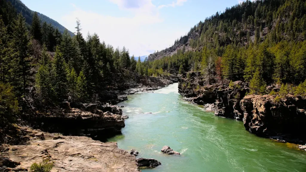
This water needs a real photo
The photo at the top of this page is not Firehole River.
It is a regional stand-in, honestly captioned but generic — we will not put a name to a river we cannot prove. Send us a photograph you took here and it replaces the stand-in, with your credit on it.
Add a photo of this water
Landscape, not fish — the water itself. Reviewed by hand before it appears. The first one published here earns the Pioneer badge.
Fished this water? Add a photo
Reviewed by hand before it appears. Pick the water, not the spot — we never publish exact locations.
Access
Old Faithful - the gauge reach, with parking at the visitor complex and walk-in access above and below.
Biscuit Basin - roadside pullouts along the Grand Loop Road reaching the middle river.
Midway Geyser Basin - foot access to the meadow water below the Excelsior discharge.
Fountain Flat Drive - the classic meadow reach, with a gravel road and several pullouts.
Firehole Canyon Drive - fast pocket water in the canyon, reached by the one-way loop road.
Nez Perce Creek - the largest tributary, joining the river on the Fountain Flat side.
Madison Junction - the downstream end, where the Firehole meets the Gibbon.
Seasons
Spring: the best window of the year, with heavy baetis and pale morning dun hatches as soon as the season opens.
Summer: thermal input pushes water temperatures high and most anglers move to colder water.
Fall: the river cools and fishes well again, with baetis on grey days and browns on the move.
Winter: closed to fishing within the park for the season.
From the water
No logged trips yet. Be the first to put this water on your map.
Log this water
Fished it or cleaned it? Log in or create a free account to log a trip with photos and earn the waterway badge.
Questions
What is the current flow on the Firehole River?
As of Nov 2, 6:00 am, the USGS gauge Firehole River at Old Faithful, YNP reads 64 cfs, with water temperature 43.2 F. Conditions update every 15 minutes.
What species can you catch on the Firehole River?
Anglers target Brook Trout, Brown Trout, Mountain Whitefish, Rainbow Trout on the Firehole River in Wyoming.
Are there fishing guides on the Firehole River?
GuidedFloats lists 2 guides and outfitters on the Firehole River. Claimed profiles accept booking requests; unclaimed profiles are built from public records and link to the business.
Where can you access the Firehole River?
Old Faithful - the gauge reach, with parking at the visitor complex and walk-in access above and below. Biscuit Basin - roadside pullouts along the Grand Loop Road reaching the middle river. Midway Geyser Basin - foot access to the meadow water below the Excelsior discharge. Fountain Flat Drive - the classic meadow reach, with a gravel road and several pullouts. Firehole Canyon Drive - fast pocket water in the canyon, reached by the one-way loop road. Nez Perce Creek - the largest tributary, joining the river on the Fountain Flat side. Madison Junction - the downstream end, where the Firehole...
When is the best time to fish the Firehole River?
Spring: the best window of the year, with heavy baetis and pale morning dun hatches as soon as the season opens. Summer: thermal input pushes water temperatures high and most anglers move to colder water. Fall: the river cools and fishes well again, with baetis on grey days and browns on the move. Winter: closed to fishing within the park for the season.
Where are the fishing regulations for the Firehole River?
Regulations change by season and section. Read the current rules on the Wyoming agency site: https://wgfd.wyo.gov/regulations