Fishes Carters Lake, Lake Allatoona
Reservoir · Northwest Georgia · Georgia
Lake Allatoona Fishing Guides
Steep, clear and structure-driven Etowah River water northwest of Atlanta, with a reputation for being difficult and a spotted bass population that rewards fishing open water.
Map of the Lake Allatoona
31 numbered points: 18 access points, 3 campsites, 8 outfitters, 1 hazard, 1 USGS gauge. Tap a marker for details. Reviewed Sep 26, 2026.
- Access / boat ramp (18)
- Campsite (3)
- Outfitter / canoe rental (8)
- Dam / hazard (1)
- USGS gauge (1)
Map data © OpenStreetMap contributors. Points are curated from OpenStreetMap and state agency sources; confirm access and hours before you go.
Print it. Bag it. Bring it.Phones die, screens crack, and most of this water has no signal. Print this map, fold it into a zip-top bag or dry bag with your license, and you have a backup your electronics can’t give you. Every marker is numbered so you can say exactly where you are.
Open the printable mapAll 31 points on this map
| # | Point | Type | Lat, Lon | Notes |
|---|---|---|---|---|
| 1 | Allatoona Dam Corps of Engineers, Bartow County | Dam / hazard | 34.16397, -84.72810 | The dam at the lake's west end, on the Etowah. Restricted area above and below; generation changes the Etowah tailwater downstream without warning. |
| 2 | USGS gauge - Allatoona Lake Roster gauge coordinate | USGS gauge | 34.16381, -84.72772 | Lake elevation and outflow. Allatoona is drawn down through autumn - check the level before trailering to a shallow ramp. |
| 3 | Cooper Branch COE, Bartow County - paved ramp, fee | Access / boat ramp | 34.17043, -84.72844 | Ramp immediately upstream of the dam, beside the Allatoona Dam Visitor Center. |
| 4 | Gatewood Park Bartow County - paved ramp, fee | Access / boat ramp | 34.17291, -84.71738 | County park and ramp on the north shore below Stamp Creek. |
| 5 | McKaskey Creek COE, Bartow County - paved ramp, fee | Access / boat ramp | 34.18963, -84.71708 | Ramp and campground on the McKaskey Creek arm, north shore. |
| 6 | Stamp Creek Ramp COE, Bartow County - paved ramp, fee | Access / boat ramp | 34.18883, -84.69471 | Ramp at the mouth of Stamp Creek. |
| 7 | Red Top Mountain SP - Bethany Bridge Georgia State Parks - paved ramp, fee | Access / boat ramp | 34.14719, -84.71862 | The western of Red Top Mountain State Park's two ramps, on the Bethany Bridge causeway. |
| 8 | Red Top Mountain SP - Webster Ferry Landing Georgia State Parks - paved ramp, fee | Access / boat ramp | 34.15411, -84.69228 | The park's eastern ramp, with the lodge, campground and swim beach on the same peninsula. |
| 9 | Bartow-Carver Park Bartow County - paved ramp, fee | Access / boat ramp | 34.14153, -84.66891 | County park, ramp and beach on the south shore of the main lake. |
| 10 | Galt's Ferry COE, Cherokee County - paved ramp, fee | Access / boat ramp | 34.13171, -84.64701 | Large Corps ramp on the main lake, one of the busiest on Allatoona. |
| 11 | Payne Public Use Area COE, Cherokee County - paved ramp, fee | Access / boat ramp | 34.12254, -84.61561 | Ramp and campground on the Little River arm's south side. |
| 12 | Victoria Day Use Area COE, Cherokee County - paved ramp, fee | Access / boat ramp | 34.15112, -84.62092 | Ramp on the Little River arm. DNR lists two rows 130 m apart here; they are one site. |
| 13 | Cherokee Mills - Little River COE, Cherokee County - paved ramp, fee | Access / boat ramp | 34.16045, -84.58150 | Corps ramp on the upper Little River arm, above the marina. |
| 14 | Sweetwater Day Use Area COE, Cherokee County - paved ramp, fee | Access / boat ramp | 34.19250, -84.58144 | Ramp and campground at the top of the Little River arm. |
| 15 | Cherokee County Park Cherokee County - paved ramp, fee | Access / boat ramp | 34.20265, -84.56128 | County ramp near the head of the Little River arm. |
| 16 | Knox Bridge COE, Cherokee County - paved ramp, fee | Access / boat ramp | 34.21522, -84.56928 | Ramp at the GA 20 Knox Bridge crossing - the uppermost access on the Little River arm. |
| 17 | Clark Creek COE, Bartow County - paved ramp, fee | Access / boat ramp | 34.10111, -84.68171 | Ramp and campground on the south shore near the dam. |
| 18 | Blockhouse COE, Bartow County - paved ramp, fee | Access / boat ramp | 34.08993, -84.71522 | Ramp on the Allatoona Creek arm south-west of the dam. |
| 19 | Tanyard Creek COE, Bartow County - paved ramp, fee | Access / boat ramp | 34.09085, -84.69160 | Ramp on the Tanyard Creek arm, south shore. |
| 20 | Old Hwy 41 COE, Bartow County - paved ramp, fee | Access / boat ramp | 34.08658, -84.70369 | Ramp on the old US 41 alignment at the lake's south-west corner. |
| 21 | Upper Stamp Creek Campground COE campground, Bartow County | Campsite | 34.20221, -84.67571 | Corps campground at the head of the Stamp Creek arm. |
| 22 | McKinney Campground COE campground, Bartow County | Campsite | 34.10466, -84.69565 | Corps campground on the south shore with its own launch. |
| 23 | Old Hwy 41 #3 Campground COE campground, Bartow County | Campsite | 34.09236, -84.71407 | Corps campground at the lake's south-west end. |
| 24 | Park Marina Private marina | Outfitter / canoe rental | 34.16381, -84.71526 | Full-service marina near the dam - slips, fuel, boat rental. |
| 25 | Wilderness Camp Marina Private marina | Outfitter / canoe rental | 34.17576, -84.69640 | Marina and campground on the north shore. |
| 26 | Holiday Harbor Marina Private marina | Outfitter / canoe rental | 34.09737, -84.70340 | Marina on the south-west shore - slips, fuel, rentals. |
| 27 | Allatoona Landing Marina Private marina | Outfitter / canoe rental | 34.11171, -84.70851 | Marina, campground and ramp on the south shore. |
| 28 | Glade Marina Private marina | Outfitter / canoe rental | 34.11643, -84.69681 | Marina on the Glade Creek arm - slips, fuel, boat rental. |
| 29 | Harbor Town Marina Private marina | Outfitter / canoe rental | 34.13001, -84.63674 | Marina on the main lake's south shore. |
| 30 | Victoria Harbor Marina Private marina | Outfitter / canoe rental | 34.15436, -84.62050 | Marina on the Little River arm beside the Victoria ramp. |
| 31 | Little River Marina Private marina | Outfitter / canoe rental | 34.16253, -84.57984 | Marina at the top of the Little River arm. |
Guides on the Lake Allatoona
Claimed profiles take booking requests. Unclaimed profiles are built from public records so the river is never empty; the guide can claim or remove one any time.
Order on this page: premium and outfitter plans first (labelled Premium placement), then claimed free profiles, then unclaimed — one published price, no bidding for position. How placement works
About the Lake Allatoona
Allatoona is the older, smaller and steeper of the two big Atlanta-area Corps lakes, impounding the Etowah River northwest of the city. It has a long-standing reputation for being difficult, which is mostly a way of saying it is deep, clear and structure-driven, with fish that relate to rock and to bait rather than to anything you can see from the bank.
Spotted bass dominate. They are abundant, they run smaller on average than the fish in Lanier, and they will feed in open water over depths that look implausible to anglers used to shallow lakes. Striped and hybrid striped bass are stocked and make up the other half of the fishery, running shad along the main-lake channel and pushing up into the creek arms as the water cools. White bass and crappie are both better here than the lake gets credit for.
The shape of the lake matters more than usual. Allatoona is narrow with steep walls and long creek arms, and wind funnels down it in a way that leaves one arm fishable and another unworkable on the same afternoon. Knowing which arm to be in on a given wind direction is most of what local knowledge means here.
The reading below is the lake elevation. Allatoona is drawn down in winter for flood storage and refilled in spring, and the swing is large enough to change which brush piles, rock ledges and points are in play. If your plan for the day is a list of waypoints, it is worth checking that number before you drive.
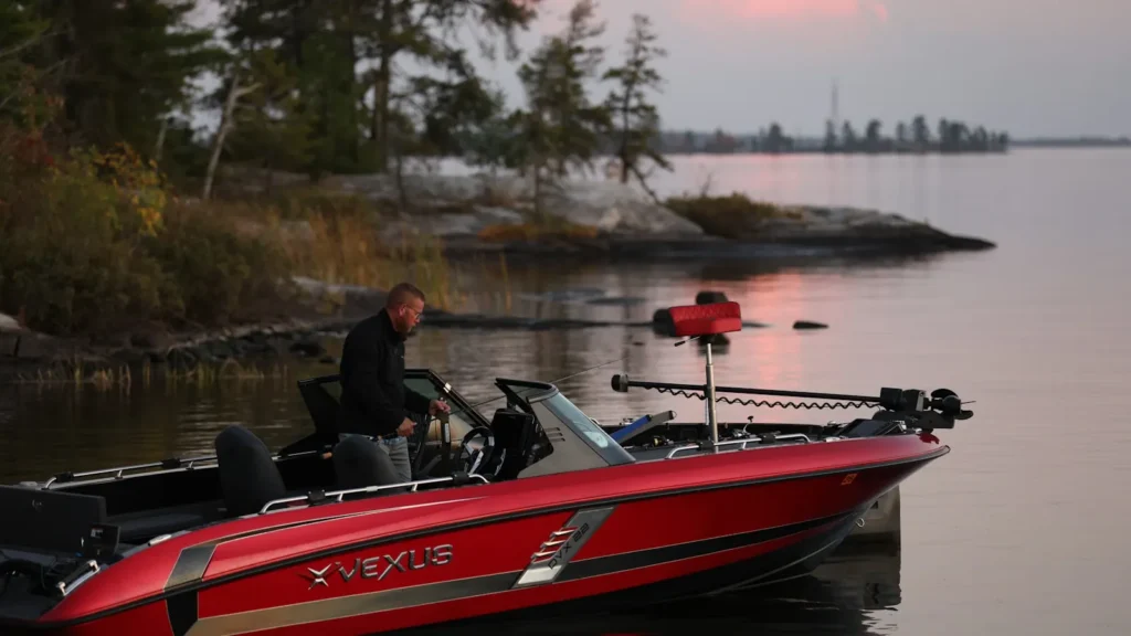
This water needs a real photo
The photo at the top of this page is not Lake Allatoona.
It is a regional stand-in, honestly captioned but generic — we will not put a name to a river we cannot prove. Send us a photograph you took here and it replaces the stand-in, with your credit on it.
Pioneer badgeUnclaimed
Add a photo of this water
Landscape, not fish — the water itself. Reviewed by hand before it appears. The first one published here earns the Pioneer badge.
Pool right now
832.93ft
- 24 hours-0.14 ft ↓ falling
- For the dateAbout normal for the date
Reading taken 51 min ago at USGS 02393500, ALLATOONA LAKE NEAR CARTERSVILLE, GA. Elevation is the surface of the lake above the survey datum, not depth. Source.
Fished this water? Add a photo
Reviewed by hand before it appears. Pick the water, not the spot — we never publish exact locations.
Access
Corps of Engineers ramps: numerous launches spread around the lake.
Red Top Mountain State Park: ramps, camping and bank access on the south shore.
Galts Ferry and Victoria Landing: mid-lake access with good parking.
Cooper Branch and Riverside: ramps near Cartersville and the Etowah arm.
Little River arm: the eastern arm, often more protected in a west wind.
Allatoona Dam area: the deepest water and winter striper fishing.
Note: weekend traffic within easy reach of Atlanta is heavy in warm months.
Seasons
Winter: stripers and hybrids in the creek arms, spotted bass deep and slow.
Spring: the spawn in the pockets, and the easiest fishing of the year for visitors.
Summer: deep spots on offshore structure, heavy boat traffic after mid-morning.
Fall: schooling on the main lake, the most enjoyable weeks of the year.
From the water
No logged trips yet. Be the first to put this water on your map.
Log this water
Fished it or cleaned it? Log in or create a free account to log a trip with photos and earn the waterway badge.
Questions
What species can you catch on the Lake Allatoona?
Anglers target Black Crappie, Channel Catfish, Largemouth Bass, Spotted Bass, Striped Bass, White Bass on the Lake Allatoona in Georgia.
Are there fishing guides on the Lake Allatoona?
GuidedFloats lists 1 guide and outfitters on the Lake Allatoona. Claimed profiles accept booking requests; unclaimed profiles are built from public records and link to the business.
Where can you access the Lake Allatoona?
Corps of Engineers ramps: numerous launches spread around the lake. Red Top Mountain State Park: ramps, camping and bank access on the south shore. Galts Ferry and Victoria Landing: mid-lake access with good parking. Cooper Branch and Riverside: ramps near Cartersville and the Etowah arm. Little River arm: the eastern arm, often more protected in a west wind. Allatoona Dam area: the deepest water and winter striper fishing. Note: weekend traffic within easy reach of Atlanta is heavy in warm months.
When is the best time to fish the Lake Allatoona?
Winter: stripers and hybrids in the creek arms, spotted bass deep and slow. Spring: the spawn in the pockets, and the easiest fishing of the year for visitors. Summer: deep spots on offshore structure, heavy boat traffic after mid-morning. Fall: schooling on the main lake, the most enjoyable weeks of the year.
Where are the fishing regulations for the Lake Allatoona?
Regulations change by season and section. Read the current rules on the Georgia agency site: https://georgiawildlife.com/fishing-regulations