Cranberry River Fishing Guides
A remote Monongahela National Forest trout river with gated backcountry access and a long catch-and-release reach.
Guides on the Cranberry River
Claimed profiles take booking requests. Unclaimed profiles are built from public records so the river is never empty; the guide can claim or remove one any time.
No guides listed yet
Guide or outfit this water? Create your profile. Listing is free, the commission is 10% or 7% with a premium profile, and premium profiles list first on this water.
About the Cranberry River
The Cranberry rises on the high plateau of the Monongahela National Forest and runs west past Richwood through some of the most genuinely remote country in the eastern United States. The upper river is bordered by the Cranberry Wilderness and reached along a gated forest road closed to public vehicles, which means the best water is walked or cycled to rather than driven to. That single management decision defines the fishery.
Native brook trout hold in the headwaters and in the tributaries running off the wilderness, and they are the fish most worth walking for. The main river is stocked with rainbows and browns through the season, and West Virginia maintains a long catch-and-release, artificial-lures-only reach on the upper river that holds fish through the summer and grows some of them to a decent size. Lower down, below Richwood, the river warms and smallmouth bass take over.
The gated road is the key to planning a trip. Bicycles are permitted and are far and away the best way to cover the upper river, letting an angler reach water several miles in and still fish it properly. Forest Service campgrounds sit at the road ends, and a string of backcountry shelters along the upper river makes an overnight trip straightforward. Anglers on foot should expect a real walk to reach the good water.
Flows are snow and rain driven with no storage above, so spring runs high and cold and late summer can drop the river to bones in a dry year. Acid deposition affected these plateau streams badly in the past and West Virginia has run a liming program on the Cranberry for decades to keep the water chemistry survivable – the fishery you find today is partly the product of that ongoing work. Check current special regulations before fishing the upper reaches.
This water needs a real photo
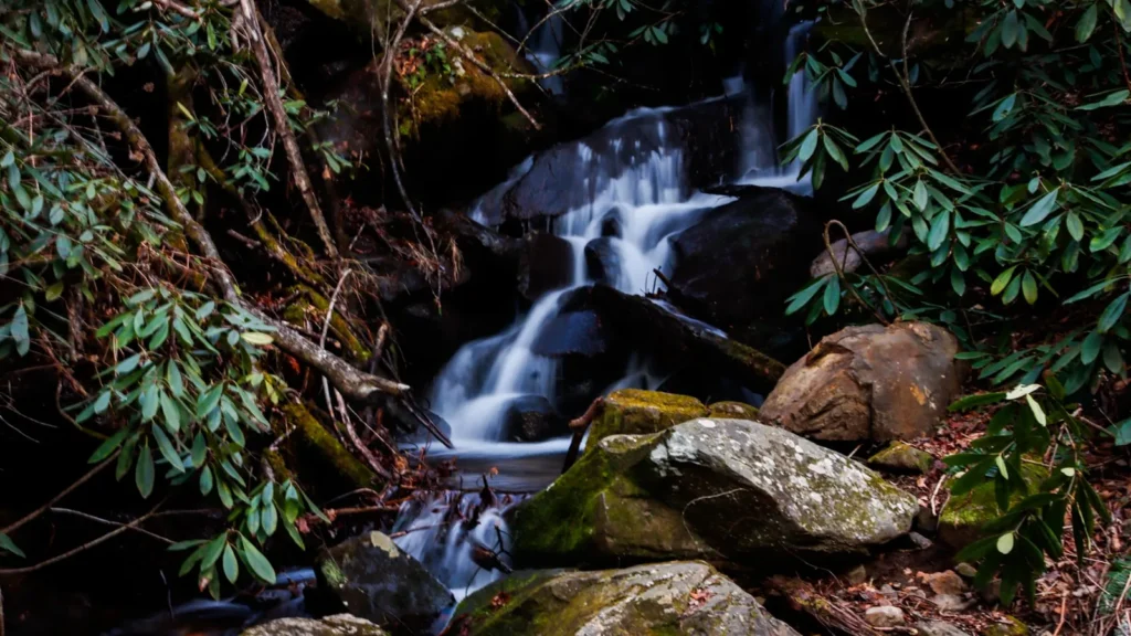
The photo at the top of this page is not Cranberry River.
It is a regional stand-in, honestly captioned but generic — we will not put a name to a river we cannot prove. Send us a photograph you took here and it replaces the stand-in, with your credit on it.
Add a photo of this water
Landscape, not fish — the water itself. Reviewed by hand before it appears. The first one published here earns the Pioneer badge.
Fished this water? Add a photo
Reviewed by hand before it appears. Pick the water, not the spot — we never publish exact locations.
Access
Cranberry Campground - the lower gate and the main trailhead for the upper river.
Forest Road 76 - the gated route along the upper river, open to foot and bicycle.
Big Rock Campground - a Forest Service campground at the road end.
Richwood - the nearest town for licences, supplies and lower-river access.
Cranberry Glades - the botanical area and visitor centre above the river.
Cranberry Wilderness trailheads - foot access to the headwaters and tributaries.
Backcountry shelters - a string of open shelters along the upper river for overnight trips.
Seasons
Spring: high cold snowmelt and rain, with heavy stocking as flows drop through April and May.
Summer: the catch-and-release reach holds fish while the lower river warms and turns to bass.
Fall: low clear water, wild brook trout in colour and the best backcountry walking of the year.
Winter: snow closes the high country and the gated road becomes a long approach.
From the water
No logged trips yet. Be the first to put this water on your map.
Log this water
Fished it or cleaned it? Log in or create a free account to log a trip with photos and earn the waterway badge.
Questions
What is the current flow on the Cranberry River?
As of Sep 17, 6:30 am, the USGS gauge CRANBERRY RIVER NEAR RICHWOOD, WV reads 45 cfs, with water temperature 65.5 F. Conditions update every 15 minutes.
What species can you catch on the Cranberry River?
Anglers target Brook Trout, Brown Trout, Rainbow Trout, Rock Bass, Smallmouth Bass on the Cranberry River in West Virginia.
Where can you access the Cranberry River?
Cranberry Campground - the lower gate and the main trailhead for the upper river. Forest Road 76 - the gated route along the upper river, open to foot and bicycle. Big Rock Campground - a Forest Service campground at the road end. Richwood - the nearest town for licences, supplies and lower-river access. Cranberry Glades - the botanical area and visitor centre above the river. Cranberry Wilderness trailheads - foot access to the headwaters and tributaries. Backcountry shelters - a string of open shelters along the upper river for overnight trips.
When is the best time to fish the Cranberry River?
Spring: high cold snowmelt and rain, with heavy stocking as flows drop through April and May. Summer: the catch-and-release reach holds fish while the lower river warms and turns to bass. Fall: low clear water, wild brook trout in colour and the best backcountry walking of the year. Winter: snow closes the high country and the gated road becomes a long approach.
Where are the fishing regulations for the Cranberry River?
Regulations change by season and section. Read the current rules on the West Virginia agency site: https://wvdnr.gov/fishing/fishing-regulations/