Catawba River Fishing Guides
The generation-driven river below Lake Wylie, where striped bass stack in the tailrace and the float down to Landsford Canal runs through genuine shoal water.
Guides on the Catawba River
Claimed profiles take booking requests. Unclaimed profiles are built from public records so the river is never empty; the guide can claim or remove one any time.
No guides listed yet
Guide or outfit this water? Create your profile. Listing is free, the commission is 10% or 7% with a premium profile, and premium profiles list first on this water.
About the Catawba River
The Catawba below Lake Wylie is a working tailwater with a fishery built around the dam’s release schedule. When the units come on, the river swells and pushes bait through the tailrace, and the striped bass that hold below the dam feed hard on it. When generation stops, the same water drops into a wadeable shoal river that looks nothing like the one from two hours earlier. Learning that cycle is the whole game here, and it is the single thing that separates anglers who do well from anglers who show up at the wrong hour.
Striped bass are the headline. They run below the dam through the cooler months and again whenever the river cools enough to hold them near the tailrace, and they are joined by hybrids that fight just as hard over a shorter distance. Blue and flathead catfish occupy the deep holes and get genuinely large in this system. Largemouth and spotted bass work the shoreline structure and the shoals, and white perch are thick enough to be a nuisance or an easy afternoon depending on the goal.
Downstream the character changes completely. Landsford Canal State Park holds the largest stand of rocky shoals spider lily in the world, blooming in late May and early June, and the shoal complex there is some of the most interesting moving water in the South Carolina piedmont. That reach floats well in a kayak or a jet-drive skiff at moderate flows and turns bony when generation is off. It is the stretch most guided trips actually target once the tailrace bite fades.
Access is good on the South Carolina bank and improving, with the Catawba Riverkeeper and the state building out a blueway along the corridor. Flows change fast and without much warning, so check the generation schedule and the gauge before launching. The river is a water supply for both Carolinas and carries the usual piedmont sediment load after summer storms.
This water needs a real photo
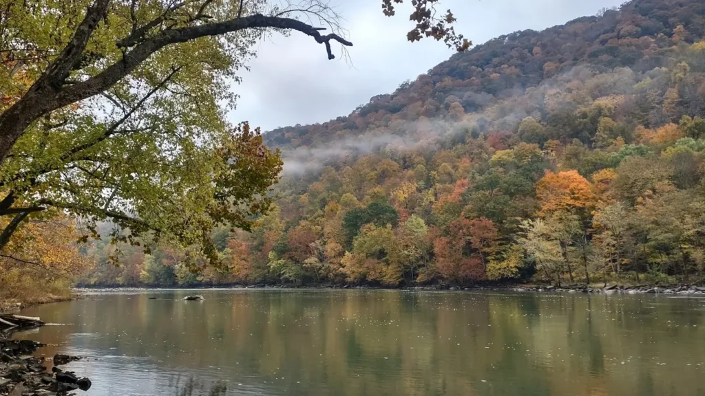
The photo at the top of this page is not Catawba River.
It is a regional stand-in, honestly captioned but generic — we will not put a name to a river we cannot prove. Send us a photograph you took here and it replaces the stand-in, with your credit on it.
Add a photo of this water
Landscape, not fish — the water itself. Reviewed by hand before it appears. The first one published here earns the Pioneer badge.
Fished this water? Add a photo
Reviewed by hand before it appears. Pick the water, not the spot — we never publish exact locations.
Access
Fewell Island, below the Lake Wylie dam - the gauge reach and the tailrace access.
River Park, Fort Mill - developed park access with a paddle launch.
Nivens Creek Landing - the main trailered ramp on the upper reach.
Landsford Canal State Park - shoal water, the spider lily stand and walk-in access.
Rock Hill's Riverwalk - bank access and a paddle launch on the middle river.
Highway 5 crossing near Catawba - bridge access toward the lower reach.
Great Falls area - the bottom of the run toward the next impoundment.
Seasons
Spring: rising water, the strongest striped bass run and the spider lilies beginning in late May.
Summer: generation-dependent, with early morning tailrace fishing and catfish through the nights.
Fall: cooling water pulls stripers back to the dam and the shoals fish well on light tackle.
Winter: the most reliable striped bass period of the year in the tailrace itself.
From the water
No logged trips yet. Be the first to put this water on your map.
Log this water
Fished it or cleaned it? Log in or create a free account to log a trip with photos and earn the waterway badge.
Questions
What is the current flow on the Catawba River?
As of Sep 17, 5:45 am, the USGS gauge CATAWBA RIVER BL LAKE WYLIE DAM FEWELL ISLAND, SC reads 901 cfs, with water temperature 83.5 F. Conditions update every 15 minutes.
What species can you catch on the Catawba River?
Anglers target Blue Catfish, Bluegill, Channel Catfish, Flathead Catfish, Hybrid Striped Bass, Largemouth Bass, Redbreast Sunfish, Spotted Bass, Striped Bass, White Bass, White Perch on the Catawba River in South Carolina.
Where can you access the Catawba River?
Fewell Island, below the Lake Wylie dam - the gauge reach and the tailrace access. River Park, Fort Mill - developed park access with a paddle launch. Nivens Creek Landing - the main trailered ramp on the upper reach. Landsford Canal State Park - shoal water, the spider lily stand and walk-in access. Rock Hill's Riverwalk - bank access and a paddle launch on the middle river. Highway 5 crossing near Catawba - bridge access toward the lower reach. Great Falls area - the bottom of the run toward the next impoundment.
When is the best time to fish the Catawba River?
Spring: rising water, the strongest striped bass run and the spider lilies beginning in late May. Summer: generation-dependent, with early morning tailrace fishing and catfish through the nights. Fall: cooling water pulls stripers back to the dam and the shoals fish well on light tackle. Winter: the most reliable striped bass period of the year in the tailrace itself.
Where are the fishing regulations for the Catawba River?
Regulations change by season and section. Read the current rules on the South Carolina agency site: https://www.dnr.sc.gov/regulations.html