Illinois Bayou Fishing Guides
An Ozark stream despite the name, running clear over gravel out of the Boston Mountains into the upper end of Lake Dardanelle.
Guides on the Illinois Bayou
Claimed profiles take booking requests. Unclaimed profiles are built from public records so the river is never empty; the guide can claim or remove one any time.
No guides listed yet
Guide or outfit this water? Create your profile. Listing is free, the commission is 10% or 7% with a premium profile, and premium profiles list first on this water.
About the Illinois Bayou
Illinois Bayou is a bayou in name only. It drains the southern face of the Boston Mountains in Pope County and runs south through the Ozark foothills to the upper end of Lake Dardanelle near Russellville, and along most of that course it behaves like an Ozark creek rather than a Delta bayou. The water runs clear over gravel and bedrock, the banks are bluff and hardwood rather than cypress, and the fish community reflects it. The gauge near Scottsville sits on the middle reach above the lake backwater.
Smallmouth bass are the reason most anglers fish it. The upper and middle reaches hold a good population of stream smallmouth that take topwater and small crankbaits through the warm months, and they fight considerably harder than their size suggests in the swift water. Ozark bass and rock bass share the same riffles and pools, longear sunfish and bluegill are everywhere, and spotted and largemouth bass become more common as the stream slows toward the lake.
The lower end is a different fishery entirely. Where Illinois Bayou enters the Dardanelle backwater it widens and deepens, and crappie, channel and flathead catfish and walleye move up out of the lake seasonally. That transition reach gets the most boat traffic; the upper stream is float and wade water best suited to a kayak or canoe.
Flow is the constant variable. The four forks above the gauge drain steep ground, and the bayou rises fast after a Boston Mountain rain and drops nearly as fast. Spring floats are the most reliable, and by late summer much of the upper stream is reduced to a chain of pools connected by thin riffles, which concentrates the smallmouth but makes for a good deal of dragging.
This water needs a real photo
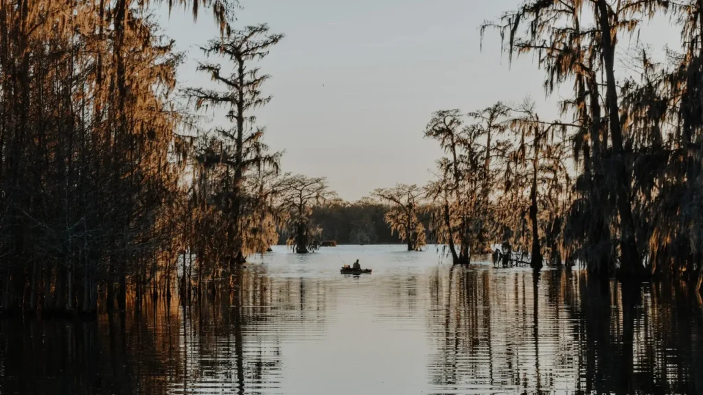
The photo at the top of this page is not Illinois Bayou.
It is a regional stand-in, honestly captioned but generic — we will not put a name to a river we cannot prove. Send us a photograph you took here and it replaces the stand-in, with your credit on it.
Add a photo of this water
Landscape, not fish — the water itself. Reviewed by hand before it appears. The first one published here earns the Pioneer badge.
Fished this water? Add a photo
Reviewed by hand before it appears. Pick the water, not the spot — we never publish exact locations.
Access
Scottsville - the gauge reach, with a county road crossing and gravel bar access.
Highway 27 crossing - the common upper put-in for a float through the middle reach.
Lake Dardanelle backwater - the lower end, with ramps reaching the slack water.
Russellville - the nearest town of size, with supplies, lodging and guides.
Ozark National Forest - public ground on the upper forks with walk-in access.
Hickey Crossing - a mid-stream gravel crossing used as a take-out.
East Fork confluence - the upper limit of dependable float water.
Seasons
Spring: the best float conditions of the year, with smallmouth active as the water warms.
Summer: low clear water, topwater at dawn and dusk, and a good deal of walking between pools.
Fall: cooling water brings the smallmouth back on and the crappie move in the lower reach.
Winter: slow in the stream, with the Dardanelle backwater holding the better winter fishing.
From the water
No logged trips yet. Be the first to put this water on your map.
Log this water
Fished it or cleaned it? Log in or create a free account to log a trip with photos and earn the waterway badge.
Questions
What is the current flow on the Illinois Bayou?
As of Sep 17, 5:30 am, the USGS gauge Illinois Bayou near Scottsville, AR reads 16 cfs. Conditions update every 15 minutes.
What species can you catch on the Illinois Bayou?
Anglers target Black Crappie, Bluegill, Channel Catfish, Flathead Catfish, Largemouth Bass, Longear Sunfish, Ozark Bass, Rock Bass, Smallmouth Bass, Spotted Bass, Walleye, White Crappie on the Illinois Bayou in Arkansas.
Where can you access the Illinois Bayou?
Scottsville - the gauge reach, with a county road crossing and gravel bar access. Highway 27 crossing - the common upper put-in for a float through the middle reach. Lake Dardanelle backwater - the lower end, with ramps reaching the slack water. Russellville - the nearest town of size, with supplies, lodging and guides. Ozark National Forest - public ground on the upper forks with walk-in access. Hickey Crossing - a mid-stream gravel crossing used as a take-out. East Fork confluence - the upper limit of dependable float water.
When is the best time to fish the Illinois Bayou?
Spring: the best float conditions of the year, with smallmouth active as the water warms. Summer: low clear water, topwater at dawn and dusk, and a good deal of walking between pools. Fall: cooling water brings the smallmouth back on and the crappie move in the lower reach. Winter: slow in the stream, with the Dardanelle backwater holding the better winter fishing.
Where are the fishing regulations for the Illinois Bayou?
Regulations change by season and section. Read the current rules on the Arkansas agency site: https://www.agfc.com/regulations/general-fishing-regulations/