Fishes Green River (Wyoming)
Tailwater · Southwest Wyoming · Wyoming
Green River (Wyoming) Fishing Guides
The Wyoming Green, from the Wind River headwaters through Pinedale and Daniel to the Fontenelle tailwater, a big-fish brown trout river that most anglers drive past on their way to Flaming Gorge.
Map of the Green River (Wyoming)
14 numbered points: 4 bridges, 6 parks and conservation areas, 1 regulation section limit, 1 hazard, 1 USGS gauge, 1 point of interest. Tap a marker for details. Reviewed Sep 15, 2026.
- Bridge crossing (4)
- Park / conservation area (6)
- Regulation section limit (1)
- Dam / hazard (1)
- USGS gauge (1)
- Point of interest (1)
Map data © OpenStreetMap contributors. Points are curated from OpenStreetMap and state agency sources; confirm access and hours before you go.
Print it. Bag it. Bring it.Phones die, screens crack, and most of this water has no signal. Print this map, fold it into a zip-top bag or dry bag with your license, and you have a backup your electronics can’t give you. Every marker is numbered so you can say exactly where you are.
Open the printable mapAll 14 points on this map
| # | Point | Type | Lat, Lon | Notes |
|---|---|---|---|---|
| 1 | Fontenelle Dam Bureau of Reclamation · NID WY01389 | Dam / hazard | 42.02795, -110.06134 | Head of the tailwater. Releases from Fontenelle Reservoir set the flow for the whole Seedskadee reach. |
| 2 | USGS 09211200 — Green River below Fontenelle Reservoir USGS gauging station | USGS gauge | 42.02097, -110.04981 | About a mile below the dam; the cable crossing here is a named regulation boundary. |
| 3 | Fontenelle Dam to the USGS gauge cable crossing Wyoming Area 4 · lower limit | Regulation section limit | 42.02097, -110.04981 | Lower limit of the special-regulation section below Fontenelle Dam, at the gauge cable crossing by Weeping Rocks. Check the current Wyoming regulations before you fish it. |
| 4 | Lower Farson Cutoff Road County road crossing | Bridge crossing | 41.98031, -110.04553 | First road crossing below the dam. Roughly where the regulations put the Sweetwater County Road 8 bridge, but the OSM name does not match, so treat the two as separate until confirmed. |
| 5 | Seedskadee National Wildlife Refuge US Fish & Wildlife Service | Park / conservation area | 41.84700, -109.86083 | The refuge follows about 36 river miles of the Green. Its named accesses — Weeping Rock, Dodge Bottom, Lombard Ferry, Slate Creek — are not in OpenStreetMap and USFWS publishes no coordinates, so this point is the refuge itself. |
| 6 | Highway 28 Wyoming 28 | Bridge crossing | 41.88155, -109.80836 | State highway crossing in the middle of the refuge reach. |
| 7 | Big Island Road County road crossing | Bridge crossing | 41.76437, -109.73529 | |
| 8 | Pioneer Trails Picnic Grounds Riverside picnic ground | Park / conservation area | 41.67849, -109.65364 | |
| 9 | Highway 374 Wyoming 374 | Bridge crossing | 41.55548, -109.59078 | Crossing upstream of the town of Green River. |
| 10 | Sweetwater County Picnic Grounds County picnic ground | Park / conservation area | 41.55410, -109.52770 | |
| 11 | Tollgate Rock Bluff above the town of Green River | Point of interest | 41.54402, -109.48288 | The landmark bluff over the river at Green River; useful for placing yourself on the town reach. |
| 12 | Thomas Moran Park Town of Green River | Park / conservation area | 41.53700, -109.48043 | |
| 13 | Island Park Town of Green River · on the river | Park / conservation area | 41.52302, -109.47062 | |
| 14 | Scotts Bottom Park Green River · Scott's Bottom nature area | Park / conservation area | 41.49250, -109.43937 | Lowest point on the sheet; below here the river backs into Flaming Gorge. |
Guides on the Green River (Wyoming)
Claimed profiles take booking requests. Unclaimed profiles are built from public records so the river is never empty; the guide can claim or remove one any time.
About the Green River (Wyoming)
Most people who say Green River mean the Utah tailwater below Flaming Gorge. The Wyoming Green upstream is a different and quieter river, and in stretches it is a better one. It starts in the Wind River Range, runs south past Pinedale and Daniel as a classic western freestone with cottonwood banks and long gravel runs, then gets rebuilt below Fontenelle Dam into a cold tailwater that grows brown trout to sizes that surprise first-time visitors.
The upper river above Warren Bridge is public and heavily fished from the bank in summer, with cutthroat, rainbows and whitefish and a strong stonefly hatch in early summer. From Warren Bridge down through Daniel the river is floatable and mostly bordered by ranch land, which is where the drift boat trips run. Below Fontenelle Dam the tailwater reach to the Names Hill and Slate Creek accesses is the big-brown water, fishable year-round because the release keeps it from icing, and it fishes best with scuds, midges and streamers rather than the attractor dries that work upstream.
The Fontenelle gauge is the number for the tailwater. Releases here follow reservoir management and can swing hard, so check it the morning of a trip rather than the night before. Something in the 800 to 2,500 cfs range gives most guides comfortable floating and wading. Big irrigation-season releases push it much higher and move the fish tight to the banks; winter minimums leave it low, clear and technical.
Pinedale is the town for the upper river, Green River and Kemmerer for the tailwater. This is high, dry, windy country with long drives between accesses, so plan fuel and food before you leave pavement.
This water needs a real photo
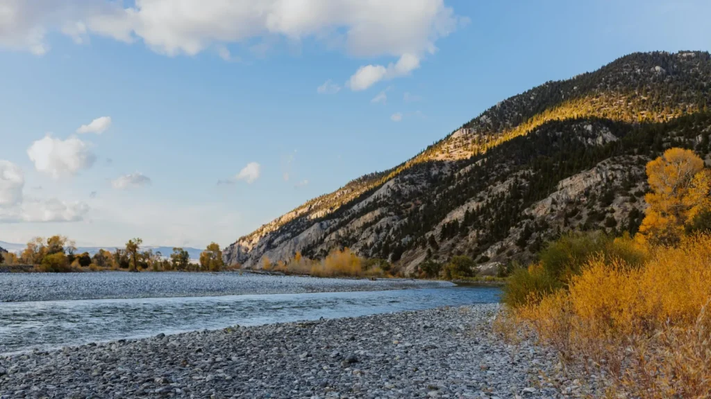
The photo at the top of this page is not Green River (Wyoming).
It is a regional stand-in, honestly captioned but generic — we will not put a name to a river we cannot prove. Send us a photograph you took here and it replaces the stand-in, with your credit on it.
Pioneer badgeUnclaimed
Add a photo of this water
Landscape, not fish — the water itself. Reviewed by hand before it appears. The first one published here earns the Pioneer badge.
Fished this water? Add a photo
Reviewed by hand before it appears. Pick the water, not the spot — we never publish exact locations.
Access
Green River Lakes and the Upper Green (Bridger-Teton National Forest): headwater camping and wade access.
Warren Bridge Access Area: Wyoming Game and Fish corridor with numerous river access points and campsites.
Daniel and Sommers Bridge: valley accesses for float trips through the ranch water.
Fontenelle Dam tailwater access: the top of the cold-water reach, immediately below the dam.
Weeping Rock and Tailrace: BLM campgrounds and boat access in the tailwater.
Names Hill and Slate Creek: lower tailwater accesses toward the Seedskadee National Wildlife Refuge.
Seasons
March through May: tailwater fishes well before runoff; the upper river is high and cold.
June: runoff on the freestone reaches, tailwater stays fishable and often excellent.
July through September: the full river is in play, stoneflies early, hoppers and terrestrials later.
October through February: the tailwater keeps fishing all winter, midges and streamers, almost nobody there.
From the water
No logged trips yet. Be the first to put this water on your map.
Log this water
Fished it or cleaned it? Log in or create a free account to log a trip with photos and earn the waterway badge.
Questions
What is the current flow on the Green River (Wyoming)?
As of Oct 19, 2:00 am, the USGS gauge GREEN RIVER BELOW FONTENELLE RESERVOIR, WY reads 605 cfs, the 16th percentile for this date, with water temperature 54.9 F. Conditions update every 15 minutes.
What species can you catch on the Green River (Wyoming)?
Anglers target Brown Trout, Cutthroat Trout, Kokanee Salmon, Mountain Whitefish, Rainbow Trout on the Green River (Wyoming) in Wyoming.
Are there fishing guides on the Green River (Wyoming)?
GuidedFloats lists 1 guide and outfitters on the Green River (Wyoming). Claimed profiles accept booking requests; unclaimed profiles are built from public records and link to the business.
Where can you access the Green River (Wyoming)?
Green River Lakes and the Upper Green (Bridger-Teton National Forest): headwater camping and wade access. Warren Bridge Access Area: Wyoming Game and Fish corridor with numerous river access points and campsites. Daniel and Sommers Bridge: valley accesses for float trips through the ranch water. Fontenelle Dam tailwater access: the top of the cold-water reach, immediately below the dam. Weeping Rock and Tailrace: BLM campgrounds and boat access in the tailwater. Names Hill and Slate Creek: lower tailwater accesses toward the Seedskadee National Wildlife Refuge.
When is the best time to fish the Green River (Wyoming)?
March through May: tailwater fishes well before runoff; the upper river is high and cold. June: runoff on the freestone reaches, tailwater stays fishable and often excellent. July through September: the full river is in play, stoneflies early, hoppers and terrestrials later. October through February: the tailwater keeps fishing all winter, midges and streamers, almost nobody there.
Where are the fishing regulations for the Green River (Wyoming)?
Regulations change by season and section. Read the current rules on the Wyoming agency site: https://wgfd.wyo.gov/Regulations/Fish/Fishing-Regulation