Congaree River Fishing Guides
Formed where the Broad and Saluda meet in downtown Columbia, a wide shoal-and-sandbar river running past Congaree National Park with striped bass and very large catfish.
Guides on the Congaree River
Claimed profiles take booking requests. Unclaimed profiles are built from public records so the river is never empty; the guide can claim or remove one any time.
About the Congaree River
The Congaree begins in downtown Columbia where the Broad River and the Saluda River join, and it runs about fifty miles southeast to meet the Wateree and form the Santee. Below the city it is a wide, shallow river of rock shoals, sand bars and long sweeping bends, bordered for much of its length by the old-growth bottomland hardwood forest of Congaree National Park. Within a mile of the confluence you go from an urban riverfront to a river that looks essentially wild.
Striped bass are the signature fish and Columbia is one of the few cities where you can catch them in sight of downtown. They hold in the cool water below the Saluda confluence through the summer, which is unusual this far south and is a direct result of the cold releases from Lake Murray. Largemouth bass work the shoals and the woody cover, redbreast sunfish are excellent in the shoal water, and catfish are the other headline: channel, flathead and increasingly large blue catfish all use the deeper bends. Bowfin and gar round out a genuinely diverse warmwater fishery.
The Columbia gauge is the reference. Moderate readings expose the shoals, make the rock fishable and give good wading and kayak conditions in the reach below the city. High water after a heavy Midlands rain or a big release upstream covers the shoals, colors the river and moves fish to the banks. Very low water makes the shoals a navigation problem for anything with a propeller and turns the upper reach into a wading and paddling fishery.
Columbia covers everything, with the Three Rivers Greenway on the bank. Downstream, Congaree National Park and the Bates Bridge area give access to the wild reaches.
This water needs a real photo
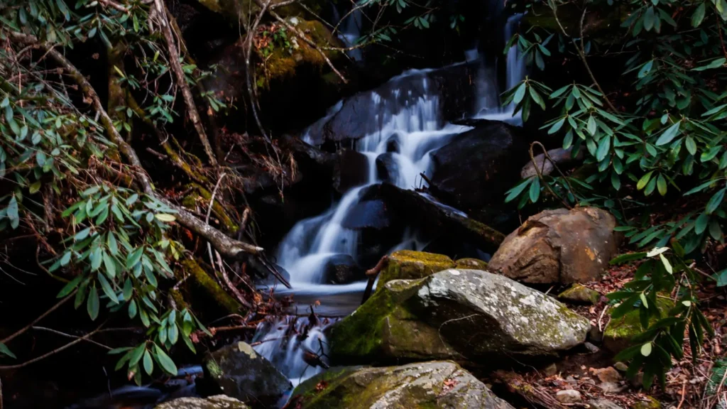
The photo at the top of this page is not Congaree River.
It is a regional stand-in, honestly captioned but generic — we will not put a name to a river we cannot prove. Send us a photograph you took here and it replaces the stand-in, with your credit on it.
Add a photo of this water
Landscape, not fish — the water itself. Reviewed by hand before it appears. The first one published here earns the Pioneer badge.
Fished this water? Add a photo
Reviewed by hand before it appears. Pick the water, not the spot — we never publish exact locations.
Access
Columbia riverfront and the Three Rivers Greenway: urban access at the confluence.
West Columbia and the Congaree shoals: wading and kayak water below the city.
Rosewood and Cayce landings: city-area ramps.
Congaree National Park and Cedar Creek: paddling access into the bottomland forest.
Bates Bridge: the main lower-river ramp.
Wateree confluence: the bottom end where the Santee forms.
Saluda and Broad rivers: the two cold and warm feeders at the top.
Seasons
Spring: striped bass at their most active and high, colored water.
Summer: cool releases from Lake Murray hold stripers below the confluence; shoal fishing at dawn.
Fall: falling water, excellent catfish and bass fishing, comfortable weather.
Winter: low clear water, big blue catfish and very little pressure.
From the water
No logged trips yet. Be the first to put this water on your map.
Log this water
Fished it or cleaned it? Log in or create a free account to log a trip with photos and earn the waterway badge.
Questions
What is the current flow on the Congaree River?
As of Oct 19, 3:00 am, the USGS gauge CONGAREE RIVER AT COLUMBIA, SC reads 3,530 cfs, the 39th percentile for this date. Conditions update every 15 minutes.
What species can you catch on the Congaree River?
Anglers target Blue Catfish, Bowfin, Channel Catfish, Flathead Catfish, Largemouth Bass, Longnose Gar, Redbreast Sunfish, Striped Bass on the Congaree River in South Carolina.
Are there fishing guides on the Congaree River?
GuidedFloats lists 2 guides and outfitters on the Congaree River. Claimed profiles accept booking requests; unclaimed profiles are built from public records and link to the business.
Where can you access the Congaree River?
Columbia riverfront and the Three Rivers Greenway: urban access at the confluence. West Columbia and the Congaree shoals: wading and kayak water below the city. Rosewood and Cayce landings: city-area ramps. Congaree National Park and Cedar Creek: paddling access into the bottomland forest. Bates Bridge: the main lower-river ramp. Wateree confluence: the bottom end where the Santee forms. Saluda and Broad rivers: the two cold and warm feeders at the top.
When is the best time to fish the Congaree River?
Spring: striped bass at their most active and high, colored water. Summer: cool releases from Lake Murray hold stripers below the confluence; shoal fishing at dawn. Fall: falling water, excellent catfish and bass fishing, comfortable weather. Winter: low clear water, big blue catfish and very little pressure.
Where are the fishing regulations for the Congaree River?
Regulations change by season and section. Read the current rules on the South Carolina agency site: https://www.dnr.sc.gov/regs/fishing.html