Fishes Fryingpan River
Tailwater · Roaring Fork Valley · Colorado
Fryingpan River Fishing Guides
Fourteen miles of Gold Medal tailwater below Ruedi Reservoir to Basalt, famous for outsized rainbows keyed on the mysis shrimp drifting out of the dam.
Map of the Fryingpan River
8 numbered points: 5 bridges, 1 park or conservation area, 1 hazard, 1 USGS gauge. Tap a marker for details. Reviewed Sep 16, 2026.
- Bridge crossing (5)
- Park / conservation area (1)
- Dam / hazard (1)
- USGS gauge (1)
Map data © OpenStreetMap contributors. Points are curated from OpenStreetMap and state agency sources; confirm access and hours before you go.
Print it. Bag it. Bring it.Phones die, screens crack, and most of this water has no signal. Print this map, fold it into a zip-top bag or dry bag with your license, and you have a backup your electronics can’t give you. Every marker is numbered so you can say exactly where you are.
Open the printable mapAll 8 points on this map
| # | Point | Type | Lat, Lon | Notes |
|---|---|---|---|---|
| 1 | Ruedi Dam Bureau of Reclamation · head of the tailwater | Dam / hazard | 39.36332, -106.81893 | Releases from Ruedi Reservoir set the flow for the whole sheet; the fishing water starts below it. |
| 2 | USGS 09080400 — Fryingpan River near Ruedi Just below Ruedi Dam | USGS gauge | 39.36554, -106.82559 | The gauge the water page reads for flow. |
| 3 | Rocky Fork Picnic Site USFS · White River National Forest | Park / conservation area | 39.36519, -106.82538 | Day-use parking on the first bend below the dam. |
| 4 | Ash Road bridge Fryingpan Road corridor | Bridge crossing | 39.37686, -106.88224 | Mid-river crossing about 5 km below the dam. |
| 5 | Oak Road bridge Fryingpan Road corridor | Bridge crossing | 39.37810, -106.89290 | Crossing about a kilometre below Ash Road. |
| 6 | Two Rivers Road bridge Basalt | Bridge crossing | 39.36699, -107.03346 | Bottom-end crossing near the Roaring Fork confluence. |
| 7 | Basalt Avenue bridge Basalt | Bridge crossing | 39.36602, -107.03376 | In-town crossing at the take-out end of the sheet. |
| 8 | Midland Avenue bridge Basalt | Bridge crossing | 39.36738, -107.03598 | The last mapped crossing before the Fryingpan meets the Roaring Fork. |
Guides on the Fryingpan River
Claimed profiles take booking requests. Unclaimed profiles are built from public records so the river is never empty; the guide can claim or remove one any time.
About the Fryingpan River
The Fryingpan runs fourteen miles from the base of Ruedi Dam down a narrow canyon to its confluence with the Roaring Fork at Basalt. It is one of Colorado’s Gold Medal waters and one of the most concentrated trout fisheries in the American West, and the reason is the dam. Ruedi releases cold, clear, temperature-stable water year-round, and it also flushes mysis shrimp out of the reservoir into the top of the river. Those shrimp are a high-calorie food source that has produced rainbow trout of extraordinary size in the upper mile — fish that look out of proportion to the small water they live in.
Below the mysis water the river settles into a beautiful, technical freestone-style tailwater with deep runs, shelf rock, pocket water and long glassy pools. Rainbows and browns dominate, with cuttbows, cutthroat and brook trout mixed in and mountain whitefish throughout. Hatches are excellent and reliable: blue-winged olives through spring and autumn, pale morning duns and caddis in summer, and the famous Green Drakes of late summer, which bring the largest browns up in the evening. Winter fishing is genuinely good because the tailwater never freezes, and midge fishing in the upper river on a cold bright day is a Colorado tradition.
This is a wading and walk-in fishery for its whole length, with Forest Road 105 running the canyon and pull-offs at nearly every pool. That access is also the pressure — the upper mile below the dam is famously crowded and famously technical, with fish that have seen every pattern. Anglers willing to walk the middle river find far more water to themselves. Long leaders, fine tippet and careful approach are not affectations here.
The gauge near Ruedi reads releases from the dam. Sudden changes matter: release increases in late summer for downstream water delivery can double the flow and completely change how the river fishes.
This water needs a real photo
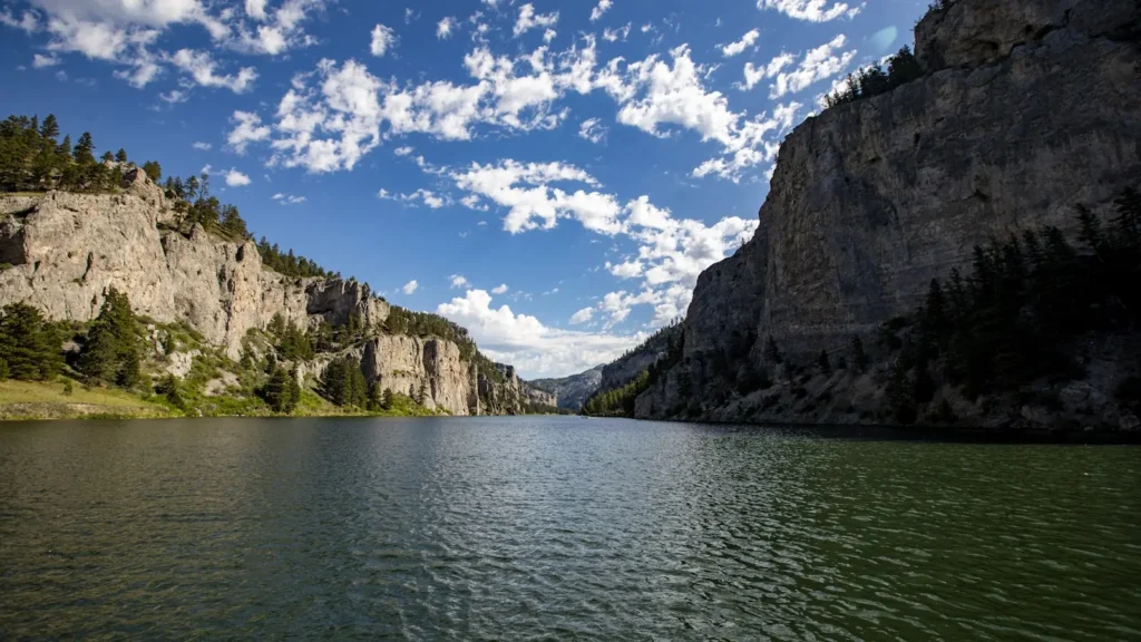
The photo at the top of this page is not Fryingpan River.
It is a regional stand-in, honestly captioned but generic — we will not put a name to a river we cannot prove. Send us a photograph you took here and it replaces the stand-in, with your credit on it.
Pioneer badgeUnclaimed
Add a photo of this water
Landscape, not fish — the water itself. Reviewed by hand before it appears. The first one published here earns the Pioneer badge.
Fished this water? Add a photo
Reviewed by hand before it appears. Pick the water, not the spot — we never publish exact locations.
Access
Ruedi Dam tailwater — the top mile of mysis water, walk-in from the dam parking area.
Forest Road 105 pull-offs — pool-by-pool access the length of the canyon.
Baetis Bridge and the Bend Hole — classic mid-canyon walk-in access.
Taylor Creek and Strawberry Rock accesses — mid-river public water.
Seven Castles reach — lower canyon access with roadside parking.
Basalt town reach — public access at the Roaring Fork confluence.
Toner Creek and Rocky Fork accesses — lightly fished middle-river pull-offs.
Seasons
Spring: blue-winged olives on grey days; flows stay stable while freestone rivers blow out with runoff.
Summer: pale morning duns and caddis, with Green Drakes in the evenings from late July into September.
Fall: olives return and browns move onto the spawn; watch for redds and give them room.
Winter: mysis and midge fishing below the dam — the river never freezes and fishes all season.
From the water
No logged trips yet. Be the first to put this water on your map.
Log this water
Fished it or cleaned it? Log in or create a free account to log a trip with photos and earn the waterway badge.
Questions
What is the current flow on the Fryingpan River?
As of Oct 22, 2:15 am, the USGS gauge FRYINGPAN RIVER NEAR RUEDI, CO. reads 47 cfs. Conditions update every 15 minutes.
What species can you catch on the Fryingpan River?
Anglers target Brook Trout, Brown Trout, Cuttbow, Cutthroat Trout, Mountain Whitefish, Rainbow Trout on the Fryingpan River in Colorado.
Are there fishing guides on the Fryingpan River?
GuidedFloats lists 1 guide and outfitters on the Fryingpan River. Claimed profiles accept booking requests; unclaimed profiles are built from public records and link to the business.
Where can you access the Fryingpan River?
Ruedi Dam tailwater — the top mile of mysis water, walk-in from the dam parking area. Forest Road 105 pull-offs — pool-by-pool access the length of the canyon. Baetis Bridge and the Bend Hole — classic mid-canyon walk-in access. Taylor Creek and Strawberry Rock accesses — mid-river public water. Seven Castles reach — lower canyon access with roadside parking. Basalt town reach — public access at the Roaring Fork confluence. Toner Creek and Rocky Fork accesses — lightly fished middle-river pull-offs.
When is the best time to fish the Fryingpan River?
Spring: blue-winged olives on grey days; flows stay stable while freestone rivers blow out with runoff. Summer: pale morning duns and caddis, with Green Drakes in the evenings from late July into September. Fall: olives return and browns move onto the spawn; watch for redds and give them room. Winter: mysis and midge fishing below the dam — the river never freezes and fishes all season.
Where are the fishing regulations for the Fryingpan River?
Regulations change by season and section. Read the current rules on the Colorado agency site: https://cpw.state.co.us/rules-and-regulations