Fishes Neuse River, Pamlico River
Estuary · Inner Banks · North Carolina
Pamlico River Fishing Guides
The Tar River becomes the Pamlico at Washington and widens into a broad brackish estuary — redfish and speckled trout downstream, largemouth and stripers up in the fresher water.
Gauge location. Map data © OpenStreetMap contributors.
Guides on the Pamlico River
Claimed profiles take booking requests. Unclaimed profiles are built from public records so the river is never empty; the guide can claim or remove one any time.
About the Pamlico River
The Pamlico River is the estuarine continuation of the Tar, taking its new name at Washington, North Carolina and widening steadily eastward through Bath and Aurora until it joins the Pamlico Sound near Pamlico Point. It is a drowned river valley rather than a delta, which means it is broad, shallow and wind-driven, with a salinity gradient that shifts miles up and down the river depending on rainfall and wind direction. That moving salt wedge is the whole story of fishing it: on a dry autumn the redfish push well above Bath, and after a wet spring the largemouth push well below it.
Downstream and along the creek mouths, red drum and spotted seatrout are the primary targets, worked around marsh points, oyster bottom, docks and the grass edges. Striped bass move through the system seasonally and hold around structure and bridge pilings. Upstream toward Washington the water freshens and largemouth bass, white perch, catfish, bowfin and gar take over. In the middle reaches, where this gauge sits, you can legitimately catch a largemouth and a puppy drum in the same afternoon, which is the particular pleasure of Inner Banks fishing.
This is a boat fishery and a shallow-water one. Skiffs and bay boats dominate, kayaks work the creeks well, and wind is the limiting factor far more often than water level — a hard northeaster can push water out of the river and shut down the flats entirely. Local knowledge of the creek mouths off the main river, particularly on the south shore, matters more than any tide table.
The gauge at Washington reports stage and discharge for the head of the estuary and also carries a salinity-related series. It is the practical reference for how much fresh water is pushing down the system and therefore where the salt line is sitting.
This water needs a real photo
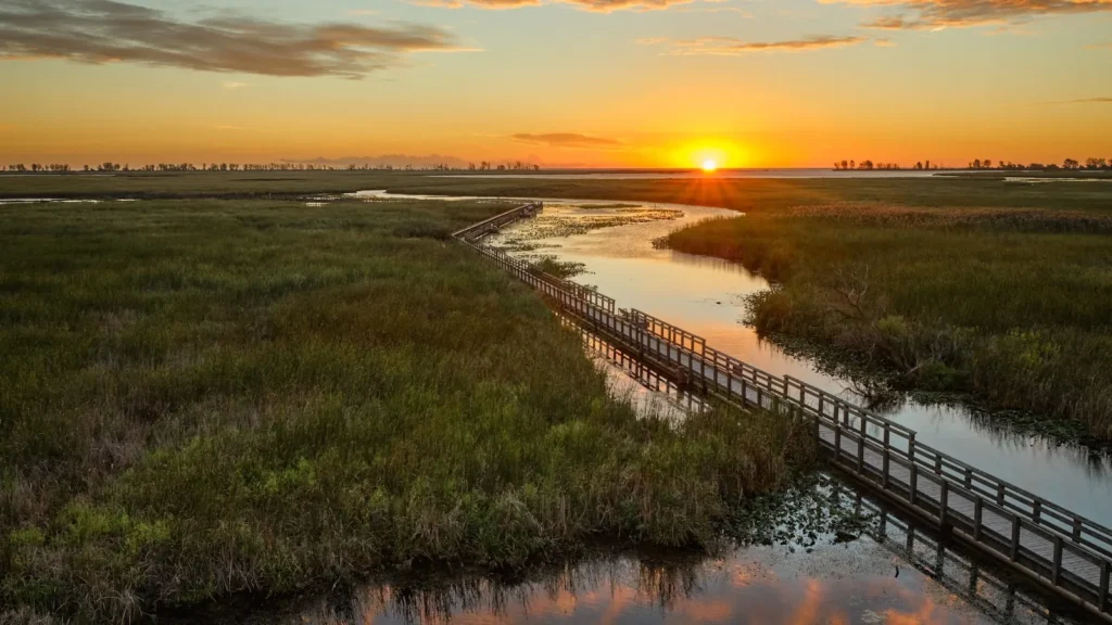
The photo at the top of this page is not Pamlico River.
It is a regional stand-in, honestly captioned but generic — we will not put a name to a river we cannot prove. Send us a photograph you took here and it replaces the stand-in, with your credit on it.
Pioneer badgeUnclaimed
Add a photo of this water
Landscape, not fish — the water itself. Reviewed by hand before it appears. The first one published here earns the Pioneer badge.
Fished this water? Add a photo
Reviewed by hand before it appears. Pick the water, not the spot — we never publish exact locations.
Access
Washington waterfront and Havens Gardens ramp — access at the head of the estuary near the USGS gauge.
Broad Creek and Chocowinity Bay ramps — south shore access to protected water.
Bath Creek public ramp — historic Bath access to the middle river.
Bayview and Aurora ferry-area ramps — lower river access on both shores.
Goose Creek State Park — bank, paddle and shallow-water access on the north shore.
Pungo River and Slade Creek accesses — eastern end toward the sound.
South Creek and Durham Creek landings — south shore creek mouths, prime drum water.
Seasons
Spring: stripers and early speckled trout in the creeks; freshening water pushes largemouth down the river.
Summer: drum on the shallow bars and grass edges at first light; afternoons are usually blown out by the sea breeze.
Fall: the peak season — red drum and speckled trout feed hard through October and November.
Winter: trout hold in the deeper creek holes on warm spells; catfish and perch fish steadily up near Washington.
From the water
No logged trips yet. Be the first to put this water on your map.
Log this water
Fished it or cleaned it? Log in or create a free account to log a trip with photos and earn the waterway badge.
Questions
What species can you catch on the Pamlico River?
Anglers target Blue Catfish, Bowfin, Channel Catfish, Largemouth Bass, Longnose Gar, Red Drum, Spotted Seatrout, Striped Bass, White Perch on the Pamlico River in North Carolina.
Are there fishing guides on the Pamlico River?
GuidedFloats lists 2 guides and outfitters on the Pamlico River. Claimed profiles accept booking requests; unclaimed profiles are built from public records and link to the business.
Where can you access the Pamlico River?
Washington waterfront and Havens Gardens ramp — access at the head of the estuary near the USGS gauge. Broad Creek and Chocowinity Bay ramps — south shore access to protected water. Bath Creek public ramp — historic Bath access to the middle river. Bayview and Aurora ferry-area ramps — lower river access on both shores. Goose Creek State Park — bank, paddle and shallow-water access on the north shore. Pungo River and Slade Creek accesses — eastern end toward the sound. South Creek and Durham Creek landings — south shore creek mouths, prime drum water.
When is the best time to fish the Pamlico River?
Spring: stripers and early speckled trout in the creeks; freshening water pushes largemouth down the river. Summer: drum on the shallow bars and grass edges at first light; afternoons are usually blown out by the sea breeze. Fall: the peak season — red drum and speckled trout feed hard through October and November. Winter: trout hold in the deeper creek holes on warm spells; catfish and perch fish steadily up near Washington.
Where are the fishing regulations for the Pamlico River?
Regulations change by season and section. Read the current rules on the North Carolina agency site: https://www.deq.nc.gov/about/divisions/marine-fisheries