Fishes Lake Pend Oreille
Lake · Northern Idaho, Bonner County, the Panhandle between Sandpoint, Hope and Bayview in the Purcell Trench · Idaho
Lake Pend Oreille Fishing Guides
Idaho's largest lake and one of the deepest in the country, draining twenty-two thousand square miles, with a trophy rainbow fishery, lake trout, kokanee and a growing northern pike population.
Map of the Lake Pend Oreille
41 numbered points: 23 access points, 8 campsites, 1 bait & fly shop, 5 parks and conservation areas, 3 agency offices, 1 USGS gauge. Tap a marker for details. Reviewed Sep 23, 2026.
- Access / boat ramp (23)
- Campsite (8)
- Bait, tackle & fly shop (1)
- Park / conservation area (5)
- Agency / conservation office (3)
- USGS gauge (1)
Map data © OpenStreetMap contributors. Points are curated from OpenStreetMap and state agency sources; confirm access and hours before you go.
Print it. Bag it. Bring it.Phones die, screens crack, and most of this water has no signal. Print this map, fold it into a zip-top bag or dry bag with your license, and you have a backup your electronics can’t give you. Every marker is numbered so you can say exactly where you are.
Open the printable mapAll 41 points on this map
| # | Point | Type | Lat, Lon | Notes |
|---|---|---|---|---|
| 1 | Trestle Creek Recreation Area U.S. Army Corps of Engineers | Park / conservation area | 48.28574, -116.34112 | Day-use ground and beach beside the Trestle Creek mouth on the north-east shore. |
| 2 | Trestle Creek camping Mapped in OpenStreetMap as a caravan site | Campsite | 48.28326, -116.35074 | |
| 3 | USGS gauge - Lake Pend Oreille at Hope USGS 12392500 | USGS gauge | 48.27639, -116.34750 | Lake level. The same station is mapped in OpenStreetMap at this spot. |
| 4 | Trestle Creek boat ramp Idaho Parks & Recreation ramp inventory | Access / boat ramp | 48.27679, -116.34706 | OpenStreetMap maps an unnamed slipway at the same place. |
| 5 | Hope Boat Basin Idaho Parks & Recreation ramp inventory | Access / boat ramp | 48.25045, -116.31536 | Sheltered ramp and moorage basin at Hope. |
| 6 | Kullyspell House Monument Park | Park / conservation area | 48.24347, -116.30127 | Small shoreline monument park east of Hope. |
| 7 | Pringle Park - East Hope IDFG - ramp and dock | Access / boat ramp | 48.23915, -116.29342 | Two unnamed OpenStreetMap slipways sit at the same place. |
| 8 | Sam Owen Idaho Parks & Recreation ramp inventory | Access / boat ramp | 48.21940, -116.29273 | Ramp on the Hope peninsula. |
| 9 | David Thompson State Wildlife Preserve | Park / conservation area | 48.20382, -116.27212 | Named as mapped in OpenStreetMap. |
| 10 | Denton Slough IDFG access site - no boat ramp | Access / boat ramp | 48.19308, -116.24658 | Shallow slough at the head of the lake; bank and wildlife-viewing access only. |
| 11 | Clark Fork Drift Yard U.S. Army Corps of Engineers - ramp, dock, camping | Access / boat ramp | 48.17359, -116.23183 | Ramp and campsites at the Clark Fork delta; OpenStreetMap maps the campground beside it. |
| 12 | Johnson Creek IDFG - ramp, dock and campground | Access / boat ramp | 48.13897, -116.22859 | The ramp and the campground share the site and are shown here as one point. |
| 13 | Granite Creek Idaho Parks & Recreation ramp inventory | Access / boat ramp | 48.08589, -116.42713 | Ramp on the steep west shore. |
| 14 | Whiskey Rock Bay Boat Launch | Access / boat ramp | 48.05180, -116.45401 | Boat-in bay on the south-east shore; a day-use ground sits beside the ramp. |
| 15 | Whiskey Rock Bay Campground | Campsite | 48.04817, -116.45477 | |
| 16 | Cedar Creek Idaho Parks & Recreation ramp inventory | Access / boat ramp | 48.01692, -116.45028 | |
| 17 | Lakeview Landing Idaho Parks & Recreation ramp inventory | Access / boat ramp | 47.97314, -116.45309 | Landing at the old townsite of Lakeview on the east shore. |
| 18 | Farragut State Park Visitor Center Idaho Parks & Recreation | Agency / conservation office | 47.95159, -116.60267 | |
| 19 | Waldron Campground Farragut State Park | Campsite | 47.95990, -116.58630 | |
| 20 | Gilmore Campground Farragut State Park | Campsite | 47.95871, -116.57728 | |
| 21 | Buttonhook Idaho Parks & Recreation ramp inventory | Access / boat ramp | 47.95448, -116.57054 | Buttonhook Bay, at the south end of the lake in Farragut State Park. |
| 22 | Whitetail Campground Farragut State Park | Campsite | 47.96632, -116.55550 | Mapped in OpenStreetMap as loops A and B; one point here. |
| 23 | Snowberry Campground Farragut State Park | Campsite | 47.96772, -116.55512 | |
| 24 | Eagle Boat Launch - Farragut State Park Paved, four lanes, dock (IDPR) | Access / boat ramp | 47.96497, -116.54590 | OpenStreetMap names the east and west ramps here Farragut Boat Launch. |
| 25 | Bayview Public Boat Launch | Access / boat ramp | 47.98077, -116.55843 | Public ramp at Bayview, at the south-west corner of the lake. |
| 26 | Evans Landing | Access / boat ramp | 48.07546, -116.53159 | Named landing on the roadless west shore; reached by boat or trail. |
| 27 | Talache Landing Idaho Parks & Recreation ramp inventory | Access / boat ramp | 48.12853, -116.47880 | |
| 28 | Garfield Bay IDFG - ramp, dock and camping | Access / boat ramp | 48.18804, -116.43729 | Main developed access on the west shore. |
| 29 | Green Bay Campground | Campsite | 48.17662, -116.40567 | Boat-in and walk-in sites on Green Bay. |
| 30 | Springy Point U.S. Army Corps of Engineers - ramp, campground, day use | Access / boat ramp | 48.23709, -116.58634 | On the Pend Oreille River arm just below Sandpoint. |
| 31 | Sandpoint Ranger Station Idaho Panhandle National Forests | Agency / conservation office | 48.26637, -116.57179 | |
| 32 | City of Sandpoint RV Park City of Sandpoint | Campsite | 48.27326, -116.54392 | At City Beach. |
| 33 | Sandpoint Marina Idaho Parks & Recreation ramp inventory | Access / boat ramp | 48.27188, -116.54141 | Three unnamed OpenStreetMap slipways sit at this place. |
| 34 | Sandpoint Landing | Access / boat ramp | 48.27480, -116.54673 | |
| 35 | Windbag Marina | Access / boat ramp | 48.27457, -116.54009 | Marina and ramp at Sandpoint City Beach. |
| 36 | Sandpoint Visitor Information | Agency / conservation office | 48.28434, -116.55238 | |
| 37 | North 40 Outfitters - Ponderay Farm and outdoor store carrying fishing tackle | Bait, tackle & fly shop | 48.31021, -116.54407 | |
| 38 | Oden Bay Game Management Area Idaho Department of Fish and Game | Park / conservation area | 48.31854, -116.44130 | |
| 39 | Sunnyside IDFG boat ramp | Access / boat ramp | 48.27982, -116.38333 | |
| 40 | Hawkins Point - Pack River IDFG - ramp and dock | Access / boat ramp | 48.28278, -116.37878 | At the Pack River mouth. |
| 41 | Pend Oreille Wildlife Management Area Idaho Department of Fish and Game | Park / conservation area | 48.29993, -116.37880 |
Guides on the Lake Pend Oreille
Claimed profiles take booking requests. Unclaimed profiles are built from public records so the river is never empty; the guide can claim or remove one any time.
About the Lake Pend Oreille
Lake Pend Oreille is the largest lake in Idaho and among the deepest in the United States, filling a glacially carved trench in the Panhandle with more than eleven hundred feet of water at its deepest point. It drains roughly twenty-two thousand square miles, taking in the Clark Fork River from Montana and discharging to the Pend Oreille River at its western end. The gauge near Hope reads lake stage, which on a regulated lake of this size is genuinely useful because the surface is drawn down substantially each autumn and refilled in spring.
Depth and volume define the fishing. The lake is cold, deep and clear, and the fishery is built on a kokanee forage base that supports predators to remarkable size. Structure is mountainous and abrupt, with steep shoreline drop-offs, submerged humps and a handful of large shallow bays that behave like different waters entirely. The main lake demands respect: weather builds fast, fetch is long, and conditions can turn dangerous for a small boat within minutes.
Lake Pend Oreille has a long reputation for enormous rainbow trout, and the Kamloops-strain fish here have historically reached extraordinary weights. Lake trout are abundant and a management concern because of their pressure on kokanee. Kokanee salmon themselves are both the forage base and a popular target. Bull trout are present and protected. Westslope cutthroat and mountain whitefish occupy the tributaries and shallows, and the warm bays hold smallmouth and largemouth bass, yellow perch and an expanding northern pike population. A first-time visitor is well served by hiring a guide, simply because the lake is large enough that finding fish without local knowledge can take days.
Regulations vary sharply by species here, with protections on some and incentives on others.
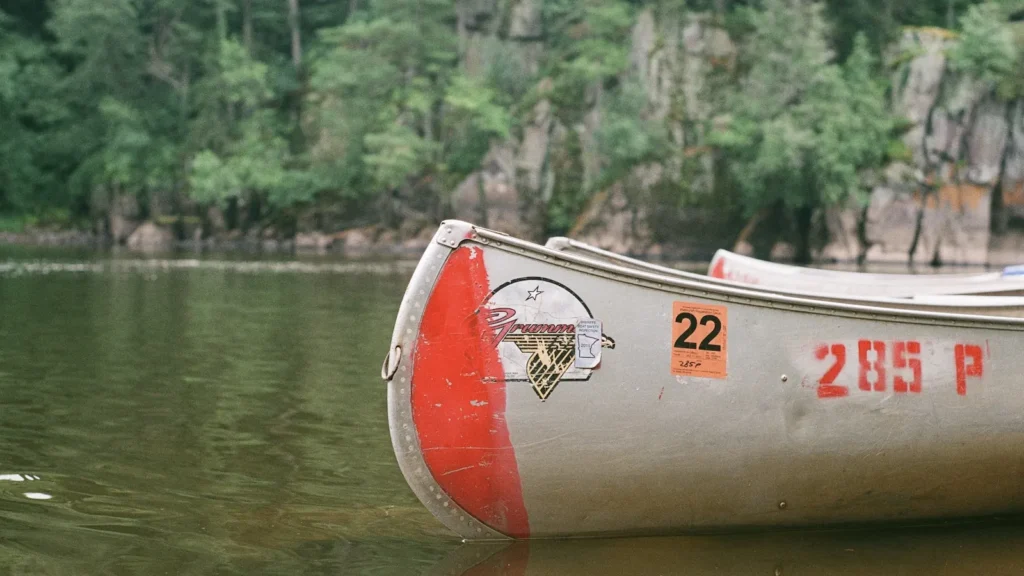
This water needs a real photo
The photo at the top of this page is not Lake Pend Oreille.
It is a regional stand-in, honestly captioned but generic — we will not put a name to a river we cannot prove. Send us a photograph you took here and it replaces the stand-in, with your credit on it.
Pioneer badgeUnclaimed
Add a photo of this water
Landscape, not fish — the water itself. Reviewed by hand before it appears. The first one published here earns the Pioneer badge.
Fished this water? Add a photo
Reviewed by hand before it appears. Pick the water, not the spot — we never publish exact locations.
Access
Sandpoint - the main town on the lake, with ramps, marinas, lodging, tackle and guides.
Hope and East Hope - the gauge area on the north shore, with launches and moorage.
Bayview - the southern end, with marinas and access to the deep water.
Clark Fork - the river delta at the east end, a productive area and a public access point.
Farragut State Park - a large state park at the south end with camping and shoreline.
Pend Oreille River - the outflow west of Sandpoint, with its own distinct fishery.
Priest Lake - the neighbouring Panhandle lake, a short drive north.
Seasons
Spring: rainbow trout fishing is strongest as the lake warms slowly and fish work the upper water column.
Summer: kokanee fishing peaks, bass and perch fill the warm bays, and the deep water demands downriggers.
Fall: drawdown concentrates fish, lake trout move shallow to spawn and the big-rainbow fishery picks up again.
Winter: the main lake stays open and is fished hard for rainbow and lake trout, with the bays sometimes icing over.
From the water
No logged trips yet. Be the first to put this water on your map.
Log this water
Fished it or cleaned it? Log in or create a free account to log a trip with photos and earn the waterway badge.
Questions
What species can you catch on the Lake Pend Oreille?
Anglers target Bull Trout, Kokanee Salmon, Lake Trout, Largemouth Bass, Mountain Whitefish, Northern Pike, Rainbow Trout, Smallmouth Bass, Westslope Cutthroat Trout, Yellow Perch on the Lake Pend Oreille in Idaho.
Are there fishing guides on the Lake Pend Oreille?
GuidedFloats lists 1 guide and outfitters on the Lake Pend Oreille. Claimed profiles accept booking requests; unclaimed profiles are built from public records and link to the business.
Where can you access the Lake Pend Oreille?
Sandpoint - the main town on the lake, with ramps, marinas, lodging, tackle and guides. Hope and East Hope - the gauge area on the north shore, with launches and moorage. Bayview - the southern end, with marinas and access to the deep water. Clark Fork - the river delta at the east end, a productive area and a public access point. Farragut State Park - a large state park at the south end with camping and shoreline. Pend Oreille River - the outflow west of Sandpoint, with its own distinct fishery. Priest Lake - the neighbouring Panhandle lake, a short drive north.
When is the best time to fish the Lake Pend Oreille?
Spring: rainbow trout fishing is strongest as the lake warms slowly and fish work the upper water column. Summer: kokanee fishing peaks, bass and perch fill the warm bays, and the deep water demands downriggers. Fall: drawdown concentrates fish, lake trout move shallow to spawn and the big-rainbow fishery picks up again. Winter: the main lake stays open and is fished hard for rainbow and lake trout, with the bays sometimes icing over.
Where are the fishing regulations for the Lake Pend Oreille?
Regulations change by season and section. Read the current rules on the Idaho agency site: https://idfg.idaho.gov/rules/fish