Fishes South Fork Snake River
Tailwater · Eastern Idaho · Idaho
South Fork Snake River Fishing Guides
A big cottonwood-lined tailwater below Palisades, sixty miles of Yellowstone cutthroat water from Heise through the canyon to the Henry's Fork confluence.
Map of the South Fork Snake River
21 numbered points: 9 access points, 3 campsites, 1 bait & fly shop, 2 outfitters, 4 bridges, 1 USGS gauge, 1 point of interest. Tap a marker for details. Reviewed Sep 16, 2026.
- Access / boat ramp (9)
- Campsite (3)
- Bait, tackle & fly shop (1)
- Outfitter / canoe rental (2)
- Bridge crossing (4)
- USGS gauge (1)
- Point of interest (1)
Map data © OpenStreetMap contributors. Points are curated from OpenStreetMap and state agency sources; confirm access and hours before you go.
Print it. Bag it. Bring it.Phones die, screens crack, and most of this water has no signal. Print this map, fold it into a zip-top bag or dry bag with your license, and you have a backup your electronics can’t give you. Every marker is numbered so you can say exactly where you are.
Open the printable mapAll 21 points on this map
| # | Point | Type | Lat, Lon | Notes |
|---|---|---|---|---|
| 1 | Palisades Dam Boat Ramp Idaho Parks & Recreation inventory | Access / boat ramp | 43.33709, -111.20376 | Top of the float: the first ramp below Palisades Dam. Coordinates from the state boat-ramp inventory; the USFS record for this site carries a longitude copied from Alpine, on the far side of the reservoir. |
| 2 | Riverside Park Campground & Day Use Area USFS Caribou-Targhee NF · Palisades RD | Campsite | 43.34070, -111.20490 | Forest Service campground and day-use area on the right bank just below the dam. |
| 3 | Palisades Creek Idaho Parks & Recreation / IDFG | Access / boat ramp | 43.36546, -111.23778 | River access at the mouth of Palisades Creek. IDPR and IDFG coordinates agree to within 50 m. |
| 4 | The Lodge at Palisades Creek 3720 US Highway 26, Irwin | Outfitter / canoe rental | 43.37385, -111.24268 | Guide lodge with its own fly shop on the highway side of the river. |
| 5 | Hover Camp Fly Shop 3333 Swan Valley Highway (US 26) | Bait, tackle & fly shop | 43.41393, -111.30180 | Walk-in fly shop on the canyon highway. Placed from its street address, not from a mapped building. |
| 6 | Falls Campground USFS Caribou-Targhee NF | Campsite | 43.43328, -111.36097 | Forest Service campground above Fall Creek Falls. The adjoining Falls Group Campground is not listed separately here. |
| 7 | Fall Creek Falls Fall Creek, river right | Point of interest | 43.44108, -111.37715 | Fall Creek drops into the South Fork over a travertine lip — the best-known landmark on the canyon reach. |
| 8 | Conant Boat Access (Spring Creek Boat Ramp) BLM Upper Snake Field Office | Access / boat ramp | 43.45000, -111.39834 | The canyon put-in / take-out at Conant Valley. BLM calls it Conant, OSM and the Forest Service call it Spring Creek; same ramp. |
| 9 | South Fork Lodge 40 Conant Valley Loop Road, Swan Valley | Outfitter / canoe rental | 43.46196, -111.42815 | Lodge and guide service with a walk-in fly shop at the head of the canyon. |
| 10 | Fullmer Boat Landing USFS Caribou-Targhee NF | Access / boat ramp | 43.59920, -111.49410 | Boat landing at the bottom of the canyon reach. |
| 11 | Wolf Flats Recreation Area BLM · river access and campground | Access / boat ramp | 43.59787, -111.61143 | Access and primitive camping on the flats below the canyon. Coordinates from the state boat-ramp inventory. |
| 12 | USGS gauge — Snake River near Heise Station 13037500 | USGS gauge | 43.61250, -111.66000 | The flow everyone reads before floating the South Fork. |
| 13 | Byington Boat Access BLM Upper Snake Field Office | Access / boat ramp | 43.62306, -111.66556 | BLM ramp; IDPR, BLM and IDFG records all land within 40 m of each other here. |
| 14 | Mountain River Ranch RV Park & Campground Private · near Heise | Campsite | 43.64030, -111.69988 | Commercial RV park and campground on the river above Heise. |
| 15 | North 5050 East Bridge County road crossing at Heise | Bridge crossing | 43.64663, -111.70096 | |
| 16 | Eastern Idaho Railroad — East Belt Subdivision Railroad crossing | Bridge crossing | 43.66629, -111.73873 | Twin spans here; one is listed. |
| 17 | South 600 East Bridge County road crossing | Bridge crossing | 43.67751, -111.76542 | |
| 18 | Twin Bridges IDFG access site · private landowner | Access / boat ramp | 43.67296, -111.76832 | Listed in the IDFG fishing and boating access database with a private landowner, so check signage before using it. |
| 19 | Eastern Idaho Railroad — Yellowstone Subdivision Railroad crossing above Lorenzo | Bridge crossing | 43.73123, -111.86791 | |
| 20 | Lorenzo Boat Access BLM Upper Snake Field Office | Access / boat ramp | 43.73799, -111.88099 | The last developed ramp before the Henrys Fork comes in. |
| 21 | Menan Boat Access BLM Upper Snake Field Office | Access / boat ramp | 43.75114, -111.97908 | Standard bottom take-out. It sits about 3 km below the Henrys Fork confluence, so the last of the float is on the main Snake. |
Guides on the South Fork Snake River
Claimed profiles take booking requests. Unclaimed profiles are built from public records so the river is never empty; the guide can claim or remove one any time.
About the South Fork Snake River
The South Fork of the Snake is the largest and most complete trout river in eastern Idaho. From Palisades Dam it runs sixty miles through a canyon and then a broad cottonwood bottomland to the confluence with the Henry’s Fork near Menan, carrying one of the last strong populations of native Yellowstone cutthroat in the region alongside brown trout and rainbows. The cottonwood gallery forest along the middle river is the largest of its kind in the West and gives the float its character.
The river fishes in three distinct sections. The canyon from Palisades to Spring Creek Bridge is deep, fast and dramatic. The middle river from Conant to Byington is the classic float, with braided channels, side channels and cutthroat that eat big dry flies all summer. The lower river below Heise flattens out and warms, with browns holding tight to the banks. The salmonfly hatch in late June and early July is the event of the year, followed by pale morning duns, and by the mutant golden stone in August that guides talk about all winter.
The Heise gauge is the standard reference. Something in the 5,000 to 12,000 cfs range is normal summer water and floats comfortably; irrigation releases can push it much higher in July and August, which moves fish to the banks and speeds up the float, and fall drawdown drops it sharply, which is when the streamer fishing turns on. Check the number before choosing a section.
Idaho Falls, Swan Valley and Ririe are the base towns, with Jackson an hour east over the pass. This is big water: hire a guide or bring a boat you are confident rowing.
This water needs a real photo
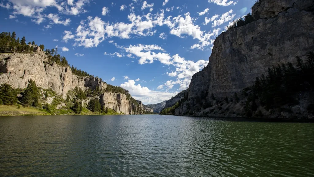
The photo at the top of this page is not South Fork Snake River.
It is a regional stand-in, honestly captioned but generic — we will not put a name to a river we cannot prove. Send us a photograph you took here and it replaces the stand-in, with your credit on it.
Pioneer badgeUnclaimed
Add a photo of this water
Landscape, not fish — the water itself. Reviewed by hand before it appears. The first one published here earns the Pioneer badge.
Fished this water? Add a photo
Reviewed by hand before it appears. Pick the water, not the spot — we never publish exact locations.
Access
Palisades Dam: the top of the tailwater.
Irwin and Spring Creek Bridge: canyon put-ins and takeouts.
Conant Valley: the standard upper float launch.
Cottonwood and Byington: middle river ramps in the cottonwood bottoms.
Heise: access near the gauge, the most-used ramp on the river.
Lorenzo and Menan: lower river access toward the Henry's Fork confluence.
Cutthroat regulations differ from those for browns and rainbows; read the current rules.
Seasons
March through May: pre-runoff streamer fishing on the lower river.
Late June and July: salmonflies, then pale morning duns; the peak season.
August and September: mutant golden stones, hoppers and the best cutthroat dry fly fishing.
October and November: fall drawdown, brown trout on streamers, cottonwoods turning and no crowds.
From the water
No logged trips yet. Be the first to put this water on your map.
Log this water
Fished it or cleaned it? Log in or create a free account to log a trip with photos and earn the waterway badge.
Questions
What is the current flow on the South Fork Snake River?
As of Oct 18, 5:30 pm, the USGS gauge SNAKE RIVER NR HEISE ID reads 3,050 cfs, the 32nd percentile for this date. Conditions update every 15 minutes.
What species can you catch on the South Fork Snake River?
Anglers target Brown Trout, Mountain Whitefish, Rainbow Trout, Yellowstone Cutthroat Trout on the South Fork Snake River in Idaho.
Are there fishing guides on the South Fork Snake River?
GuidedFloats lists 4 guides and outfitters on the South Fork Snake River. Claimed profiles accept booking requests; unclaimed profiles are built from public records and link to the business.
Where can you access the South Fork Snake River?
Palisades Dam: the top of the tailwater. Irwin and Spring Creek Bridge: canyon put-ins and takeouts. Conant Valley: the standard upper float launch. Cottonwood and Byington: middle river ramps in the cottonwood bottoms. Heise: access near the gauge, the most-used ramp on the river. Lorenzo and Menan: lower river access toward the Henry's Fork confluence. Cutthroat regulations differ from those for browns and rainbows; read the current rules.
When is the best time to fish the South Fork Snake River?
March through May: pre-runoff streamer fishing on the lower river. Late June and July: salmonflies, then pale morning duns; the peak season. August and September: mutant golden stones, hoppers and the best cutthroat dry fly fishing. October and November: fall drawdown, brown trout on streamers, cottonwoods turning and no crowds.
Where are the fishing regulations for the South Fork Snake River?
Regulations change by season and section. Read the current rules on the Idaho agency site: https://idfg.idaho.gov/rules/fish