Henrys Fork Fishing Guides
The most famous dry fly river in America, from the Box Canyon and Harriman Ranch flats through Mesa Falls to the canyon water above Ashton.
Map of the Henrys Fork
21 numbered points: 9 access points, 5 campsites, 1 bridge, 1 park or conservation area, 3 hazards, 1 spring, 1 USGS gauge. Tap a marker for details. Reviewed Sep 8, 2026.
- Access / boat ramp (9)
- Campsite (5)
- Bridge crossing (1)
- Park / conservation area (1)
- Dam / hazard (3)
- Spring (1)
- USGS gauge (1)
Print it. Bag it. Bring it.Phones die, screens crack, and most of this water has no signal. Print this map, fold it into a zip-top bag or dry bag with your license, and you have a backup your electronics can’t give you. Every marker is numbered so you can say exactly where you are.
Open the printable mapAll 21 points on this map
| # | Point | Type | Lat, Lon | Notes |
|---|---|---|---|---|
| 1 | Big Springs Caribou-Targhee National Forest | Spring | 44.50057, -111.25496 | Source of the Henrys Fork - a large constant-temperature spring that starts the river at full size. |
| 2 | Big Springs Campground Caribou-Targhee NF | Campsite | 44.49753, -111.25448 | |
| 3 | Upper Coffeepot Campground Caribou-Targhee NF | Campsite | 44.49058, -111.36676 | |
| 4 | McCrea Bridge Campground Caribou-Targhee NF | Campsite | 44.46224, -111.40054 | |
| 5 | McCrea Bridge boat ramp OSM: unnamed slipway on McCrea Road | Access / boat ramp | 44.46141, -111.40159 | At the head of Island Park Reservoir; the usual take-out for the Big Springs and Coffee Pot water. |
| 6 | Island Park Dam Bureau of Reclamation | Dam / hazard | 44.41872, -111.39624 | |
| 7 | USGS 13042500 Henrys Fork near Island Park Real-time flow and stage | USGS gauge | 44.41667, -111.39472 | Check the reading before you commit to a float; releases and runoff move this river fast. |
| 8 | Boat ramp below Island Park Dam OSM: unnamed slipway on Forest Road 563 | Access / boat ramp | 44.41613, -111.39501 | Head of the Box Canyon reach. |
| 9 | Box Canyon Campground Caribou-Targhee NF | Campsite | 44.41019, -111.39605 | |
| 10 | Boat ramp at Last Chance OSM: unnamed slipway on Old Highway | Access / boat ramp | 44.37115, -111.40275 | Foot of Box Canyon and head of the Last Chance flat water. |
| 11 | Harriman State Park Idaho Parks & Recreation | Park / conservation area | 44.33603, -111.46135 | The Railroad Ranch water; park access is on foot from the park lots. |
| 12 | Osborne Bridge Highway crossing at the foot of the Ranch | Bridge crossing | 44.32472, -111.44859 | |
| 13 | Riverside Campground boat ramp OSM: unnamed slipway on Riverside Campground Road | Access / boat ramp | 44.26678, -111.45615 | |
| 14 | Mesa Falls Waterfall on the Henrys Fork | Dam / hazard | 44.18765, -111.32976 | OSM maps a single 'Mesa Falls' node here at the upper falls; the lower falls are a short way downstream. No boat passage through this canyon. |
| 15 | Grandview Campground Caribou-Targhee NF | Campsite | 44.17487, -111.31355 | |
| 16 | Boat ramp on North River Road Unnamed in OSM | Access / boat ramp | 44.10942, -111.33801 | Above Ashton Reservoir. |
| 17 | Ashton Dam Hydro dam on the Henrys Fork | Dam / hazard | 44.07850, -111.49687 | |
| 18 | Boat ramp on East 1300 North Unnamed in OSM | Access / boat ramp | 44.06995, -111.51054 | Below Ashton Dam. |
| 19 | Boat ramp on 2830 North Unnamed in OSM | Access / boat ramp | 44.01816, -111.58245 | Chester to Saint Anthony reach. |
| 20 | Boat ramp on South River Road Unnamed in OSM | Access / boat ramp | 43.98290, -111.62394 | Above Saint Anthony. |
| 21 | Boat ramp on North 1900 East Unnamed in OSM | Access / boat ramp | 43.92736, -111.77847 | Below Saint Anthony, on the run down to the Snake. |
Guides on the Henrys Fork
Claimed profiles take booking requests. Unclaimed profiles are built from public records so the river is never empty; the guide can claim or remove one any time.
About the Henrys Fork
The Henry’s Fork is where American dry fly fishing set its standard for difficulty. The river rises at Big Springs, flows through Island Park Reservoir, and then delivers two of the best-known reaches in the sport: the Box Canyon, fast pocket water full of large rainbows, and the Harriman Ranch, three miles of flat, weedy, glassy spring creek where the fish are big, the currents are complicated, and refusals are the normal outcome. Below that the river drops over Upper and Lower Mesa Falls into a canyon and then out into the Ashton tailwater.
The Ranch is the reason people plan trips a year ahead. Green drakes in June, pale morning duns and callibaetis through the summer, and tricos and mahoganies in the fall come off water so slow you can see every rise form. Long leaders, exact drifts and patience are the whole game, and it is fished on foot with no wading in some sections during the nesting season. The Box Canyon, by contrast, is a nymph and streamer fishery with the biggest fish in the system.
The Island Park gauge reads the release into the Box Canyon. Roughly 600 to 1,200 cfs is normal working water there; irrigation season pushes it higher, and drawdown in the fall changes conditions quickly. The Ranch fishes on whatever comes down from the Box, and its slow, weedy character means the flow number matters less than the wind and the hatch.
Island Park, Last Chance and Ashton are the base, with West Yellowstone forty minutes away over Targhee Pass. Come with more patience than tackle, and consider hiring a guide the first time on the Ranch.
This water needs a real photo
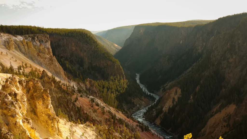
The photo at the top of this page is not Henrys Fork.
It is a regional stand-in, honestly captioned but generic — we will not put a name to a river we cannot prove. Send us a photograph you took here and it replaces the stand-in, with your credit on it.
Add a photo of this water
Landscape, not fish — the water itself. Reviewed by hand before it appears. The first one published here earns the Pioneer badge.
Fished this water? Add a photo
Reviewed by hand before it appears. Pick the water, not the spot — we never publish exact locations.
Access
Big Springs: the headwaters, a no-fishing spring with enormous visible trout.
Mack's Inn and Coffee Pot Rapids: upper river access above the reservoir.
Box Canyon: below Island Park Dam near the gauge, boat launch and walk-in access.
Last Chance and the Harriman Ranch: the famous flat water, walk-in from the state park.
Harriman State Park: parking, trails and seasonal access rules.
Riverside and Hatchery Ford: canyon access above Mesa Falls.
Warm River and Ashton: the lower river and the tailwater reach.
Seasons
Late May through November on most reaches; the Ranch opens on a set date each June.
June: salmonflies in the canyon and green drakes on the Ranch, the peak of the year.
July and August: pale morning duns, callibaetis, terrestrials and technical flat-water fishing.
September and October: mahoganies and tricos, then streamers as the crowds leave; the Box fishes all winter where open.
From the water
No logged trips yet. Be the first to put this water on your map.
Log this water
Fished it or cleaned it? Log in or create a free account to log a trip with photos and earn the waterway badge.
Questions
What is the current flow on the Henrys Fork?
As of Oct 18, 4:45 pm, the USGS gauge HENRYS FORK NR ISLAND PARK ID reads 94 cfs, the 9th percentile for this date. Conditions update every 15 minutes.
What species can you catch on the Henrys Fork?
Anglers target Brook Trout, Brown Trout, Cutthroat Trout, Mountain Whitefish, Rainbow Trout on the Henrys Fork in Idaho.
Are there fishing guides on the Henrys Fork?
GuidedFloats lists 4 guides and outfitters on the Henrys Fork. Claimed profiles accept booking requests; unclaimed profiles are built from public records and link to the business.
Where can you access the Henrys Fork?
Big Springs: the headwaters, a no-fishing spring with enormous visible trout. Mack's Inn and Coffee Pot Rapids: upper river access above the reservoir. Box Canyon: below Island Park Dam near the gauge, boat launch and walk-in access. Last Chance and the Harriman Ranch: the famous flat water, walk-in from the state park. Harriman State Park: parking, trails and seasonal access rules. Riverside and Hatchery Ford: canyon access above Mesa Falls. Warm River and Ashton: the lower river and the tailwater reach.
When is the best time to fish the Henrys Fork?
Late May through November on most reaches; the Ranch opens on a set date each June. June: salmonflies in the canyon and green drakes on the Ranch, the peak of the year. July and August: pale morning duns, callibaetis, terrestrials and technical flat-water fishing. September and October: mahoganies and tricos, then streamers as the crowds leave; the Box fishes all winter where open.
Where are the fishing regulations for the Henrys Fork?
Regulations change by season and section. Read the current rules on the Idaho agency site: https://idfg.idaho.gov/rules/fish