Bayou Bartholomew Fishing Guides
The longest bayou in the world, running three hundred miles from Pine Bluff to the Ouachita with one of the richest fish faunas in the Delta.
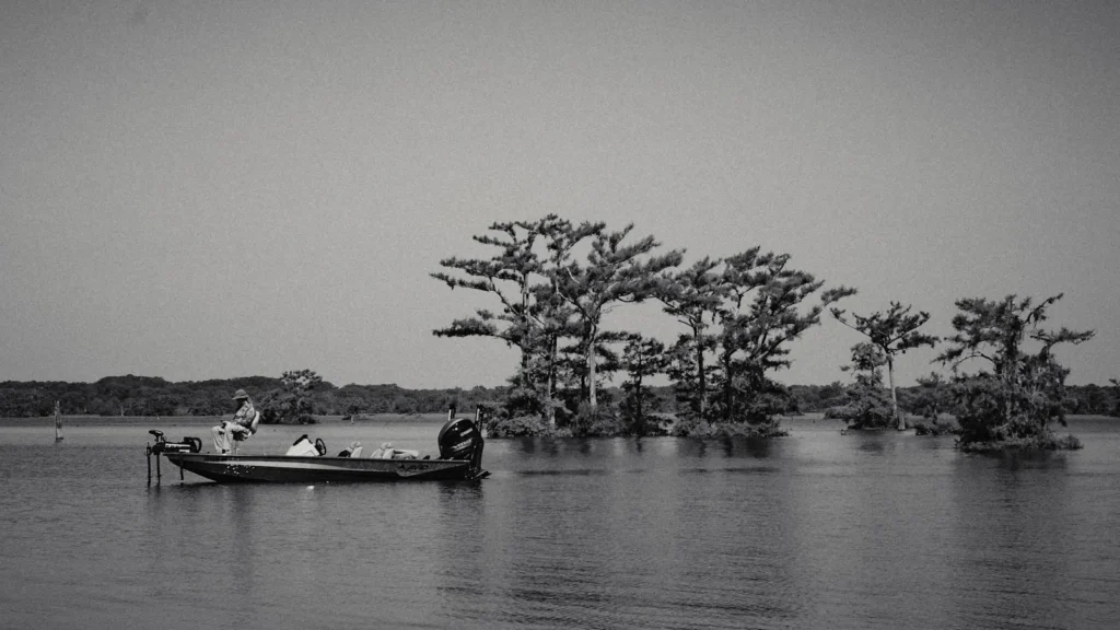
Guides on the Bayou Bartholomew
Claimed profiles take booking requests. Unclaimed profiles are built from public records so the river is never empty; the guide can claim or remove one any time.
No guides listed yet
Guide or outfit this water? Create your profile. Listing is free, the commission is 10% or 7% with a premium profile, and premium profiles list first on this water.
About the Bayou Bartholomew
Bayou Bartholomew is generally described as the longest bayou in the world, running roughly three hundred and sixty miles from near Pine Bluff, Arkansas, down through the Delta to join the Ouachita River in Louisiana. It is an old channel of the Arkansas River, and it keeps the shape of one, a narrow meandering watercourse with deep outside bends, cypress at the edges and a steady tea-colored flow. The gauge at Garrett Bridge sits on the Arkansas reach above Monticello.
The bayou is best known among biologists for its diversity. More than a hundred fish species have been recorded in it, one of the highest counts of any stream in the region, and that variety is obvious from a boat. Largemouth and spotted bass hold along the laydowns and cypress knees, crappie stack in the deeper bends and around any structure the current has piled up, and channel, blue and flathead catfish use the holes. Bluegill, redear sunfish and warmouth fill the shallow margins, and gar, bowfin and drum are common enough that they turn up on almost any bait.
Fishing it is a matter of working small water carefully. The bayou is rarely wide, and a boat that draws much is the wrong tool. Jon boats, kayaks and canoes are the standard, and much of the best fishing happens within a few feet of the bank. Water level drives everything. When the Delta is wet the bayou spreads into the surrounding timber and the fish scatter, and when it drops they concentrate in the bends and the fishing sharpens up considerably.
Much of the land along the bayou is private farm ground, so access is a matter of knowing the public bridges and landings. A long-running conservation effort has improved several of these over the last two decades, and the bayou is in better shape now than it was a generation ago.
This water needs a real photo
The photo at the top of this page is not Bayou Bartholomew.
It is a regional stand-in, honestly captioned but generic — we will not put a name to a river we cannot prove. Send us a photograph you took here and it replaces the stand-in, with your credit on it.
Add a photo of this water
Landscape, not fish — the water itself. Reviewed by hand before it appears. The first one published here earns the Pioneer badge.
Fished this water? Add a photo
Reviewed by hand before it appears. Pick the water, not the spot — we never publish exact locations.
Access
Garrett Bridge - the gauge reach, with a county road crossing and bank access.
Monticello - the nearest town of size, with supplies and lodging east of the bayou.
Pine Bluff - the upper end of the bayou near its head on the old Arkansas channel.
Highway 35 crossing - a mid-bayou road bridge with room to launch a small boat.
Wilmot - the lower Arkansas reach above the state line.
Highway 278 crossing - roadside access to the reach below Monticello.
Ouachita River confluence - the downstream end, reached by boat from Louisiana landings.
Seasons
Spring: the strongest fishing of the year, with crappie in the bends and bass on the cypress.
Summer: catfish in the deep holes and bream along the shaded edges as the bayou drops.
Fall: falling water concentrates fish and the crappie bite returns in the cooler weeks.
Winter: slow but workable, with crappie and catfish in the deepest bends.
From the water
No logged trips yet. Be the first to put this water on your map.
Log this water
Fished it or cleaned it? Log in or create a free account to log a trip with photos and earn the waterway badge.
Questions
What is the current flow on the Bayou Bartholomew?
As of Sep 17, 5:15 am, the USGS gauge Bayou Bartholomew at Garrett Bridge, AR reads 3 cfs. Conditions update every 15 minutes.
What species can you catch on the Bayou Bartholomew?
Anglers target Black Crappie, Blue Catfish, Bluegill, Bowfin, Channel Catfish, Flathead Catfish, Freshwater Drum, Largemouth Bass, Longnose Gar, Redear Sunfish, Spotted Bass, Spotted Gar, Warmouth, White Crappie on the Bayou Bartholomew in Arkansas.
Where can you access the Bayou Bartholomew?
Garrett Bridge - the gauge reach, with a county road crossing and bank access. Monticello - the nearest town of size, with supplies and lodging east of the bayou. Pine Bluff - the upper end of the bayou near its head on the old Arkansas channel. Highway 35 crossing - a mid-bayou road bridge with room to launch a small boat. Wilmot - the lower Arkansas reach above the state line. Highway 278 crossing - roadside access to the reach below Monticello. Ouachita River confluence - the downstream end, reached by boat from Louisiana landings.
When is the best time to fish the Bayou Bartholomew?
Spring: the strongest fishing of the year, with crappie in the bends and bass on the cypress. Summer: catfish in the deep holes and bream along the shaded edges as the bayou drops. Fall: falling water concentrates fish and the crappie bite returns in the cooler weeks. Winter: slow but workable, with crappie and catfish in the deepest bends.
Where are the fishing regulations for the Bayou Bartholomew?
Regulations change by season and section. Read the current rules on the Arkansas agency site: https://www.agfc.com/regulations/general-fishing-regulations/