Fishes Gunnison River
Tailwater · Western Colorado · Colorado
Gunnison River Fishing Guides
Gold Medal water below the Black Canyon, from the Gunnison Tunnel through the Gunnison Gorge to Delta, floated and hiked into for big browns and rainbows.
Map of the Gunnison River
17 numbered points: 12 access points, 3 campsites, 1 hazard, 1 USGS gauge. Tap a marker for details. Reviewed Sep 8, 2026.
- Access / boat ramp (12)
- Campsite (3)
- Dam / hazard (1)
- USGS gauge (1)
Map data © OpenStreetMap contributors. Points are curated from OpenStreetMap and state agency sources; confirm access and hours before you go.
Print it. Bag it. Bring it.Phones die, screens crack, and most of this water has no signal. Print this map, fold it into a zip-top bag or dry bag with your license, and you have a backup your electronics can’t give you. Every marker is numbered so you can say exactly where you are.
Open the printable mapAll 17 points on this map
| # | Point | Type | Lat, Lon | Notes |
|---|---|---|---|---|
| 1 | Crystal Dam Bureau of Reclamation · Aspinall Unit | Dam / hazard | 38.51041, -107.62413 | The bottom dam of the Aspinall Unit and the top of this reach. No boat passage. |
| 2 | USGS 09128000 — Gunnison River below Gunnison Tunnel USGS streamgage | USGS gauge | 38.52915, -107.64895 | The flow that matters for the Black Canyon and the Gorge; read it before you walk in. |
| 3 | East Portal Campground Black Canyon of the Gunnison NP | Campsite | 38.52683, -107.64965 | The one place you can drive to the river inside the national park; steep road, length limit on vehicles. |
| 4 | North Rim Campground Black Canyon of the Gunnison NP | Campsite | 38.58528, -107.70996 | On the rim, not the water — the trailhead for the inner-canyon routes down the north side. |
| 5 | Bobcat Trailhead BLM · Gunnison Gorge NCA | Access / boat ramp | 38.62970, -107.87003 | Rim trailhead; the trail drops roughly 1,000 feet to the river. Coordinate is the parking, not the water. |
| 6 | Duncan Trailhead BLM · Gunnison Gorge NCA | Access / boat ramp | 38.64863, -107.86689 | Rim trailhead into the Gorge. Coordinate is the parking, not the water. |
| 7 | Ute Trailhead BLM · Gunnison Gorge NCA | Access / boat ramp | 38.68231, -107.86406 | The longest of the Gorge rim trails. Coordinate is the parking, not the water. |
| 8 | Sun Cliff Canyon Trailhead BLM · South River Road | Access / boat ramp | 38.76484, -107.88808 | River trailhead on the lower Gunnison below the Gorge. |
| 9 | Cool Rock Canyon Trailhead BLM · South River Road | Access / boat ramp | 38.76734, -107.87519 | River trailhead on the lower Gunnison. |
| 10 | Orchard Boat Ramp Shea Road · Delta County | Access / boat ramp | 38.76808, -107.90315 | Named ramp on the lower river. |
| 11 | Crocodile Rock Trailhead BLM · South River Road | Access / boat ramp | 38.77053, -107.86029 | River trailhead on the lower Gunnison. |
| 12 | Boat ramp on I 30 Lane near Delta Unnamed slipway · OSM 'Interstate Highway 30 Lane' | Access / boat ramp | 38.77173, -107.97282 | Mapped ramp on the county lane west toward Delta; no site name in OSM. |
| 13 | Birthday Canyon Trailhead BLM · South River Road | Access / boat ramp | 38.77615, -107.85283 | River trailhead on the lower Gunnison. |
| 14 | Cottonwood Grove Campground BLM · South River Road | Campsite | 38.77904, -107.85298 | Campground on the lower river with a ramp at the same site. |
| 15 | Boat ramp at Cottonwood Grove Unnamed slipway · OSM 'South River Road' | Access / boat ramp | 38.77915, -107.85366 | The ramp beside the Cottonwood Grove campground. |
| 16 | West River Trailhead BLM · West River Trail | Access / boat ramp | 38.78090, -107.83674 | River trailhead on the lower Gunnison. |
| 17 | Boat ramp on BLM Road 5092 Unnamed slipway · OSM 'BLM 5092' | Access / boat ramp | 38.78371, -107.83808 | Mapped ramp on the BLM road above Delta. |
Guides on the Gunnison River
Claimed profiles take booking requests. Unclaimed profiles are built from public records so the river is never empty; the guide can claim or remove one any time.
About the Gunnison River
The Gunnison runs west from the Gunnison valley through three reservoirs of the Curecanti National Recreation Area, drops through the Black Canyon of the Gunnison, and comes out below the Gunnison Tunnel into the Gunnison Gorge National Conservation Area. That gorge reach, from the Chukar Trail down to Pleasure Park, is Colorado Gold Medal water and one of the best trout floats in the state.
Getting there is part of the story. The gorge has no road access at the top; boats are packed in by horse or hand-carried down the Chukar Trail, which keeps traffic low and the fishing quality high. Wade anglers hike in on the Chukar, Bobcat, Duncan and Ute trails. Below the gorge the river opens up through the North Fork confluence at Pleasure Park and runs to Delta and eventually the Colorado at Grand Junction. Upstream, the Black Canyon itself is a serious hike-in fishery for anglers willing to descend the canyon walls.
Salmonflies in late spring and early summer are the famous event here, followed by strong caddis and then a long, excellent fall of blue-winged olives and streamer fishing for big browns. The rainbows are wild and the population has rebounded well from whirling disease.
The Gunnison Tunnel gauge reads the release below the Black Canyon and above the gorge. Guides look for something in the several-hundred to low-thousand cfs range for comfortable floating; big spring releases from Blue Mesa push the gorge into expert-only water and can close it to fishing traffic entirely.
Montrose, Delta and Gunnison are the towns; Montrose is the base for gorge trips.
This water needs a real photo
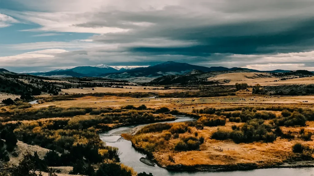
The photo at the top of this page is not Gunnison River.
It is a regional stand-in, honestly captioned but generic — we will not put a name to a river we cannot prove. Send us a photograph you took here and it replaces the stand-in, with your credit on it.
Pioneer badgeUnclaimed
Add a photo of this water
Landscape, not fish — the water itself. Reviewed by hand before it appears. The first one published here earns the Pioneer badge.
Fished this water? Add a photo
Reviewed by hand before it appears. Pick the water, not the spot — we never publish exact locations.
Access
Black Canyon of the Gunnison National Park: East Portal road access and the canyon hike-in routes.
Gunnison Tunnel and the Chukar Trail: the top of the gorge float, boats packed in.
Bobcat, Duncan and Ute trails: BLM hiking access into the Gunnison Gorge.
Pleasure Park at the North Fork confluence: the standard gorge takeout and a ramp.
Austin and Escalante: lower river accesses toward Delta.
Blue Mesa, Morrow Point and Crystal reservoirs: Curecanti access upstream.
Seasons
April and May: pre-runoff fishing, then rising water; salmonflies begin in the lower canyon.
June: salmonflies move upstream, high water, the most famous weeks of the year.
July through September: prime float and wade season, caddis and terrestrials, warm days and cold nights.
October and November: blue-winged olives and streamers for big browns, very few people.
From the water
No logged trips yet. Be the first to put this water on your map.
Log this water
Fished it or cleaned it? Log in or create a free account to log a trip with photos and earn the waterway badge.
Questions
What is the current flow on the Gunnison River?
As of Oct 19, 2:00 am, the USGS gauge GUNNISON RIVER BELOW GUNNISON TUNNEL, CO reads 213 cfs, the 20th percentile for this date. Conditions update every 15 minutes.
What species can you catch on the Gunnison River?
Anglers target Brown Trout, Cutthroat Trout, Kokanee Salmon, Mountain Whitefish, Rainbow Trout on the Gunnison River in Colorado.
Are there fishing guides on the Gunnison River?
GuidedFloats lists 1 guide and outfitters on the Gunnison River. Claimed profiles accept booking requests; unclaimed profiles are built from public records and link to the business.
Where can you access the Gunnison River?
Black Canyon of the Gunnison National Park: East Portal road access and the canyon hike-in routes. Gunnison Tunnel and the Chukar Trail: the top of the gorge float, boats packed in. Bobcat, Duncan and Ute trails: BLM hiking access into the Gunnison Gorge. Pleasure Park at the North Fork confluence: the standard gorge takeout and a ramp. Austin and Escalante: lower river accesses toward Delta. Blue Mesa, Morrow Point and Crystal reservoirs: Curecanti access upstream.
When is the best time to fish the Gunnison River?
April and May: pre-runoff fishing, then rising water; salmonflies begin in the lower canyon. June: salmonflies move upstream, high water, the most famous weeks of the year. July through September: prime float and wade season, caddis and terrestrials, warm days and cold nights. October and November: blue-winged olives and streamers for big browns, very few people.
Where are the fishing regulations for the Gunnison River?
Regulations change by season and section. Read the current rules on the Colorado agency site: https://cpw.state.co.us/rules-and-regulations