Fishes Etowah River
River · North Georgia · Georgia
Etowah River Fishing Guides
North Georgia most biologically distinctive river, running from the Dahlonega gold country through shoals and delayed-harvest trout water down past Canton toward Lake Allatoona.
Map of the Etowah River
17 numbered points: 11 access points, 3 outfitters, 2 hazards, 1 USGS gauge. Tap a marker for details. Reviewed Sep 26, 2026.
- Access / boat ramp (11)
- Outfitter / canoe rental (3)
- Dam / hazard (2)
- USGS gauge (1)
Map data © OpenStreetMap contributors. Points are curated from OpenStreetMap and state agency sources; confirm access and hours before you go.
Print it. Bag it. Bring it.Phones die, screens crack, and most of this water has no signal. Print this map, fold it into a zip-top bag or dry bag with your license, and you have a backup your electronics can’t give you. Every marker is numbered so you can say exactly where you are.
Open the printable mapAll 17 points on this map
| # | Point | Type | Lat, Lon | Notes |
|---|---|---|---|---|
| 1 | River Park Dawson County - canoe/kayak, bank fishing | Access / boat ramp | 34.35760, -84.11408 | Uppermost public access on the river, no fee. |
| 2 | Appalachian Outfitters: Dawson Forest Outpost 5693 Kelly Bridge Rd, Dawsonville | Outfitter / canoe rental | 34.35443, -84.20725 | Canoe and kayak outfitter on the upper river, 150 m off the water; the Upper Etowah River Alliance lists it as its sole recreation resource. |
| 3 | Eagles Beak Park Forsyth County Parks and Recreation | Access / boat ramp | 34.31332, -84.23069 | Canoe/kayak access and bank fishing, no fee. |
| 4 | McGraw Ford WMA Georgia DNR - Wildlife Management Area | Access / boat ramp | 34.32458, -84.31521 | State-held river frontage with canoe/kayak access and bank fishing, no fee. |
| 5 | Gober Beach Canoe/kayak access | Access / boat ramp | 34.29973, -84.39664 | Listed open in the state inventory with no operator recorded. |
| 6 | USGS 02392000 - Etowah River USGS monitoring location | USGS gauge | 34.24019, -84.49453 | Stage and discharge at Canton, above Lake Allatoona. |
| 7 | Boling Park City of Canton | Access / boat ramp | 34.23585, -84.50666 | Canoe/kayak access and bank fishing in Canton, no fee. Last access above Lake Allatoona. |
| 8 | Allatoona Dam U.S. Army Corps of Engineers | Dam / hazard | 34.16396, -84.72826 | Impounds Lake Allatoona and divides the river. Nothing passes it; the reach above is the lake, which is its own sheet. Generation makes the tailwater below rise fast. |
| 9 | Riverside Park U.S. Army Corps of Engineers - paved ramp | Access / boat ramp | 34.16102, -84.74419 | First ramp below Allatoona Dam. Paved, canoe/kayak and bank fishing; a use fee applies. |
| 10 | Thompson Weinman Dam In-river dam below Cartersville | Dam / hazard | 34.14522, -84.78363 | Mapped structure across the channel about 5 km below the Allatoona tailwater ramp. |
| 11 | Etowah River Canoe/Kayak Launch City of Cartersville | Access / boat ramp | 34.14267, -84.83855 | Paddle launch, no fee. |
| 12 | Euharlee Creek Outfitters 102 Covered Bridge Rd SW, Euharlee | Outfitter / canoe rental | 34.14462, -84.93319 | Paddling outfitter beside the Euharlee covered bridge, about 750 m off the river. |
| 13 | Euharlee Road Boat Ramp City of Euharlee - paved ramp | Access / boat ramp | 34.14766, -84.92036 | Paved ramp, canoe/kayak and bank fishing, no fee. |
| 14 | Old Hardin Bridge Landing Bartow County Parks and Recreation - paved ramp | Access / boat ramp | 34.18877, -84.92495 | Paved ramp, no fee. |
| 15 | Neels Landing Bartow County Parks and Recreation - paved ramp | Access / boat ramp | 34.20830, -84.97881 | Paved ramp, no fee. Last Bartow County access before Floyd County. |
| 16 | State Route 1 Loop Georgia DNR-WRD - Floyd County - paved ramp | Access / boat ramp | 34.23221, -85.11623 | Lowest public ramp on the river, in Rome just above the Oostanaula confluence. Paved, no fee. |
| 17 | River Ratz Rome 1170 Turner Chapel Rd SE, Rome | Outfitter / canoe rental | 34.23820, -85.11395 | Paddling outfitter at the bottom of the river, about 750 m off the water. |
Guides on the Etowah River
Claimed profiles take booking requests. Unclaimed profiles are built from public records so the river is never empty; the guide can claim or remove one any time.
About the Etowah River
The Etowah rises in the mountains above Dahlonega and runs southwest through Dawson and Cherokee counties past Canton to Lake Allatoona and eventually the Coosa system. It is one of the most biologically distinctive rivers in the Southeast, with a set of fish and mussel species found nowhere else, and its shoals and gravel runs support a genuinely unusual assemblage for a river this close to metropolitan Atlanta.
The fishing changes completely from top to bottom. The upper river in the mountains is trout water, cold enough to hold rainbows and browns, with a well-known delayed-harvest section that draws fly anglers through the cool months. Below the mountains the river warms and becomes a shoal bass river, and shoal bass are the prize: a native black bass of the Coosa and Chattahoochee systems that lives on rock and fights like a smallmouth. Redeye bass hold in the tributaries, spotted and largemouth bass fill the pools, and striped bass move up out of Allatoona in the lower reaches.
The Canton gauge reads the middle river below the trout water. Moderate readings mean clear water over the shoals, excellent wading and kayak fishing, and defined current seams around the rock. A heavy North Georgia rain colors it and raises it quickly, and the shoals get pushy; it drops within a day or two. Late-summer low water is very clear and warm, the shoal bass get spooky, and the fishing shifts to first light. For the upper trout reaches, water temperature matters more than the Canton number.
Dahlonega, Dawsonville, Canton and Cartersville are the towns along the corridor, and the whole river is within an hour of most of metro Atlanta.
This water needs a real photo
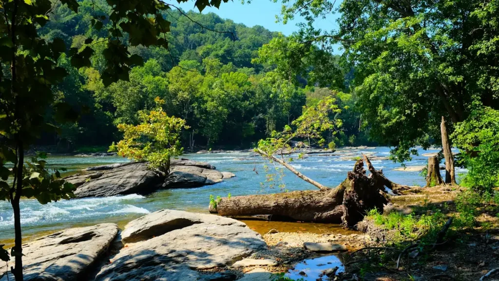
The photo at the top of this page is not Etowah River.
It is a regional stand-in, honestly captioned but generic — we will not put a name to a river we cannot prove. Send us a photograph you took here and it replaces the stand-in, with your credit on it.
Pioneer badgeUnclaimed
Add a photo of this water
Landscape, not fish — the water itself. Reviewed by hand before it appears. The first one published here earns the Pioneer badge.
Fished this water? Add a photo
Reviewed by hand before it appears. Pick the water, not the spot — we never publish exact locations.
Access
Canton: town access and the Etowah River Park near the gauge.
Kelly Bridge and Etowah River Park in Dawson County: shoal bass water.
Dahlonega and the upper river: trout water and the delayed-harvest section.
Amicalola Creek: the main cold tributary, with its own trout fishery.
Highway 9 and Highway 369 crossings: middle-river access points.
Lake Allatoona: the impoundment at the bottom.
Below Allatoona Dam: the tailwater and a separate striped bass fishery.
Seasons
March through May: the best shoal bass fishing and strong trout activity upstream.
June through August: warm and low; shoal bass on topwater at dawn, trout only in the coldest upper water.
September and October: falling temperatures, clear water and excellent shoal bass fishing.
November through February: delayed-harvest trout season on the upper river at its best.
From the water
No logged trips yet. Be the first to put this water on your map.
Log this water
Fished it or cleaned it? Log in or create a free account to log a trip with photos and earn the waterway badge.
Questions
What is the current flow on the Etowah River?
As of Oct 19, 2:15 am, the USGS gauge ETOWAH RIVER AT CANTON, GA reads 196 cfs, the 8th percentile for this date. Conditions update every 15 minutes.
What species can you catch on the Etowah River?
Anglers target Brown Trout, Channel Catfish, Largemouth Bass, Rainbow Trout, Redeye Bass, Shoal Bass, Spotted Bass, Striped Bass on the Etowah River in Georgia.
Are there fishing guides on the Etowah River?
GuidedFloats lists 1 guide and outfitters on the Etowah River. Claimed profiles accept booking requests; unclaimed profiles are built from public records and link to the business.
Where can you access the Etowah River?
Canton: town access and the Etowah River Park near the gauge. Kelly Bridge and Etowah River Park in Dawson County: shoal bass water. Dahlonega and the upper river: trout water and the delayed-harvest section. Amicalola Creek: the main cold tributary, with its own trout fishery. Highway 9 and Highway 369 crossings: middle-river access points. Lake Allatoona: the impoundment at the bottom. Below Allatoona Dam: the tailwater and a separate striped bass fishery.
When is the best time to fish the Etowah River?
March through May: the best shoal bass fishing and strong trout activity upstream. June through August: warm and low; shoal bass on topwater at dawn, trout only in the coldest upper water. September and October: falling temperatures, clear water and excellent shoal bass fishing. November through February: delayed-harvest trout season on the upper river at its best.
Where are the fishing regulations for the Etowah River?
Regulations change by season and section. Read the current rules on the Georgia agency site: https://georgiawildlife.com/fishing-regulations