Boulder Creek below Boulder Lake Fishing Guides
The managed release below Boulder Lake on the Wind River front, one hundred and twenty-six square miles of Sublette County snowmelt running to the Green River, gauged for flow and stage.
Guides on the Boulder Creek below Boulder Lake
Claimed profiles take booking requests. Unclaimed profiles are built from public records so the river is never empty; the guide can claim or remove one any time.
No guides listed yet
Guide or outfit this water? Create your profile. Listing is free, the commission is 10% or 7% with a premium profile, and premium profiles list first on this water.
About the Boulder Creek below Boulder Lake
Boulder Creek drains one hundred and twenty-six square miles of the western Wind River Range and runs to the Green River near the hamlet of Boulder in Sublette County. Boulder Lake, a natural glacial lake raised by an irrigation dam, sits at the mouth of the canyon, and the gauge immediately below it measures what the dam is letting out. Discharge and stage are both on the record, and on a release-controlled creek those two numbers are effectively the operating schedule made visible.
That schedule is what you need to understand before fishing this water. Boulder Lake is storage for downstream irrigation, which means the creek below it runs high through the irrigation season and drops sharply when the demand ends, rather than following the natural snowmelt curve the way an unregulated Wind River front creek does. A high steady reading in midsummer is normal here and not a sign of storm runoff. The late-season drop, when it comes, concentrates fish and makes for some of the best wading of the year.
The creek below the dam is classic Wyoming freestone in character despite the regulation, with cobble and boulder bed, quick riffles, deep pockets behind rock and short runs between. Cutthroat are the native fish, joined by brook trout, rainbows, browns and mountain whitefish. Kokanee and lake trout inhabit the reservoir above rather than the creek, and the reservoir fishery is a genuine reason to bring a boat as well as waders.
The setting is the other half of the appeal. This is the front of the Wind Rivers, with the Bridger Wilderness rising immediately behind and very little development in between. Pressure is light compared with the Green River water nearby.
This water needs a real photo
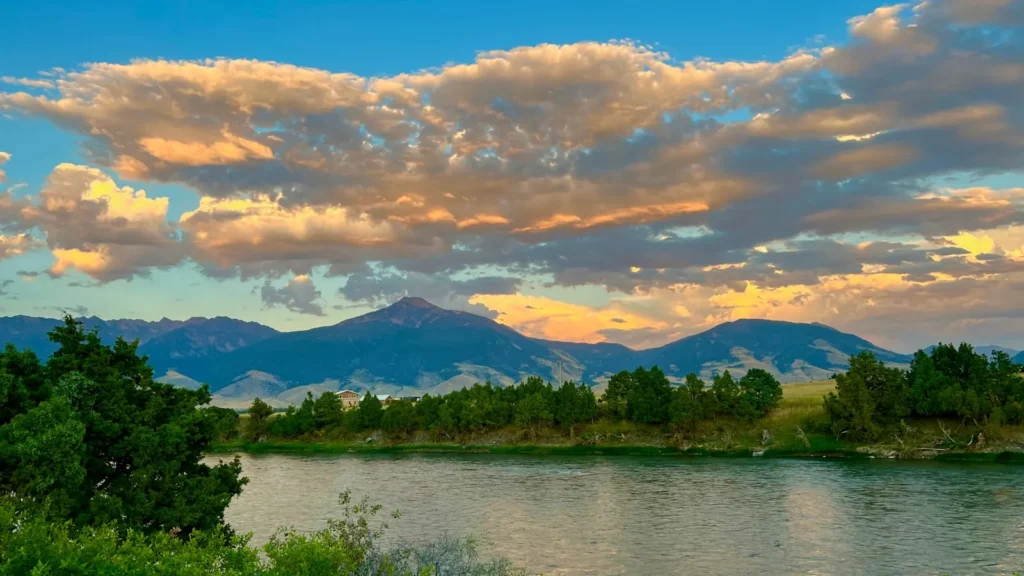
The photo at the top of this page is not Boulder Creek below Boulder Lake.
It is a regional stand-in, honestly captioned but generic — we will not put a name to a river we cannot prove. Send us a photograph you took here and it replaces the stand-in, with your credit on it.
Add a photo of this water
Landscape, not fish — the water itself. Reviewed by hand before it appears. The first one published here earns the Pioneer badge.
Fished this water? Add a photo
Reviewed by hand before it appears. Pick the water, not the spot — we never publish exact locations.
Access
Boulder - the hamlet at the mouth of the creek on U.S. 191, with basic services.
Pinedale - the Sublette County seat fifteen minutes north, with guides, fly shops, lodging and full services.
Boulder Lake - the reservoir above the dam, with a Forest Service campground and a boat ramp.
Bridger-Teton National Forest - public land through the upper watershed with trails into the Bridger Wilderness.
Green River - the larger river the creek joins, with public access and a strong trout fishery.
Fremont Lake - a large deep lake near Pinedale with a ramp and a lake trout fishery.
Big Sandy area - a further Wind River front access to the southeast for those extending a trip.
Seasons
Spring: snowmelt and reservoir fill make for high water, and the creek is best left until flows settle.
Summer: irrigation releases hold flows up and the fishing is steady, with good dry fly water through the riffles.
Fall: the release ends and the creek drops into its best wading condition, with brown trout on the move.
Winter: cold, low and largely inaccessible, with snow closing most of the approach roads.
From the water
No logged trips yet. Be the first to put this water on your map.
Log this water
Fished it or cleaned it? Log in or create a free account to log a trip with photos and earn the waterway badge.
Questions
What is the current flow on the Boulder Creek below Boulder Lake?
As of Oct 18, 5:00 pm, the USGS gauge Boulder Creek bl Boulder Lake, nr Boulder, WY reads 13 cfs. Conditions update every 15 minutes.
What species can you catch on the Boulder Creek below Boulder Lake?
Anglers target Brook Trout, Brown Trout, Cutthroat Trout, Kokanee Salmon, Lake Trout, Mountain Whitefish, Rainbow Trout on the Boulder Creek below Boulder Lake in Wyoming.
Where can you access the Boulder Creek below Boulder Lake?
Boulder - the hamlet at the mouth of the creek on U.S. 191, with basic services. Pinedale - the Sublette County seat fifteen minutes north, with guides, fly shops, lodging and full services. Boulder Lake - the reservoir above the dam, with a Forest Service campground and a boat ramp. Bridger-Teton National Forest - public land through the upper watershed with trails into the Bridger Wilderness. Green River - the larger river the creek joins, with public access and a strong trout fishery. Fremont Lake - a large deep lake near Pinedale with a ramp and a lake trout fishery. Big Sandy area - a fur...
When is the best time to fish the Boulder Creek below Boulder Lake?
Spring: snowmelt and reservoir fill make for high water, and the creek is best left until flows settle. Summer: irrigation releases hold flows up and the fishing is steady, with good dry fly water through the riffles. Fall: the release ends and the creek drops into its best wading condition, with brown trout on the move. Winter: cold, low and largely inaccessible, with snow closing most of the approach roads.
Where are the fishing regulations for the Boulder Creek below Boulder Lake?
Regulations change by season and section. Read the current rules on the Wyoming agency site: https://wgfd.wyo.gov/regulations