Fishes Toccoa River
River · North Georgia mountains · Georgia
Toccoa River Fishing Guides
Fourteen floatable miles of north Georgia mountain river above Lake Blue Ridge, with a delayed-harvest section on national forest land and drift-boat trout fishing from November through spring.
Map of the Toccoa River
17 numbered points: 2 access points, 4 campsites, 1 bait & fly shop, 1 outfitter, 7 bridges, 1 hazard, 1 USGS gauge. Tap a marker for details. Reviewed Sep 26, 2026.
- Access / boat ramp (2)
- Campsite (4)
- Bait, tackle & fly shop (1)
- Outfitter / canoe rental (1)
- Bridge crossing (7)
- Dam / hazard (1)
- USGS gauge (1)
Map data © OpenStreetMap contributors. Points are curated from OpenStreetMap and state agency sources; confirm access and hours before you go.
Print it. Bag it. Bring it.Phones die, screens crack, and most of this water has no signal. Print this map, fold it into a zip-top bag or dry bag with your license, and you have a backup your electronics can’t give you. Every marker is numbered so you can say exactly where you are.
Open the printable mapAll 17 points on this map
| # | Point | Type | Lat, Lon | Notes |
|---|---|---|---|---|
| 1 | Canada Creek Road Bridge (CR 463) Suches, upper river | Bridge crossing | 34.69449, -84.07651 | A track bridge on Gooch Road crosses about 1 km upstream. |
| 2 | Gaddistown Road Bridge (CR 165) Union County | Bridge crossing | 34.71080, -84.07227 | |
| 3 | Wildcat Lodge & Campground private, riverside | Campsite | 34.71961, -84.06711 | |
| 4 | Parker Road Bridge (CR 281) Union County | Bridge crossing | 34.72204, -84.08063 | |
| 5 | Brown Mountain Drive Bridge Union County | Bridge crossing | 34.73425, -84.10301 | |
| 6 | Deep Hole Recreation Area USFS campground and canoe launch | Campsite | 34.73924, -84.14091 | The standard put-in for the upper float. OSM maps a dedicated canoe-launch parking area 100 m off, operated as part of the recreation area. |
| 7 | Rock Creek Road Bridge (CR 2) Fannin County | Bridge crossing | 34.74603, -84.15194 | |
| 8 | Hawk Mountain (Base) Campsite riverside, walk-in | Campsite | 34.74007, -84.15885 | |
| 9 | Newport Road Bridge (CR 222) Fannin County | Bridge crossing | 34.75970, -84.21813 | |
| 10 | Thunder Valley Tubing & Kayak Rentals at the Newport Road bridge | Outfitter / canoe rental | 34.75886, -84.21819 | Tagged amenity=boat_rental. OSM spells the name 'Vallley'; corrected here. |
| 11 | Toccoa River Sandy Bottoms Recreation Area USFS campground | Campsite | 34.78652, -84.23952 | |
| 12 | Sandy Bottom Canoe Launch USFS boating site | Access / boat ramp | 34.79251, -84.23889 | Georgia's delayed-harvest reach begins 450 feet above this launch and runs downstream to a point 0.4 miles above the Shallowford Bridge. Boundary only - check the current regulations. |
| 13 | USGS gauge - Toccoa River near Dial beside the Sandy Bottom launch | USGS gauge | 34.79000, -84.24000 | |
| 14 | Tri-State Bait & Tackle Blue Ridge, 2.1 km off the river | Bait, tackle & fly shop | 34.89263, -84.25980 | Tagged shop=fishing and placed as a building in OSM, not geocoded. The only tackle shop mapped anywhere in the corridor. |
| 15 | Blue Ridge Dam TVA, head of the tailwater | Dam / hazard | 34.88312, -84.28051 | Mapped as two overlapping ways in OSM; one dam. The float above it ends in Lake Blue Ridge; the tailwater below runs to McCaysville. |
| 16 | Tammen Park river access Blue Ridge, tailwater | Access / boat ramp | 34.88800, -84.28592 | Slipway left unnamed in OSM, inside Tammen Park on the bank. The first access below the dam. |
| 17 | Murphy Branch Railroad Bridge Georgia Northeastern Railroad | Bridge crossing | 34.90666, -84.28703 | Carries the scenic railway; the lowest crossing on the mapped river. |
Guides on the Toccoa River
Claimed profiles take booking requests. Unclaimed profiles are built from public records so the river is never empty; the guide can claim or remove one any time.
Fishes Toccoa River
Fishes Toccoa River
Fishes Toccoa River
Fishes Toccoa River
Fishes Toccoa River
Fishes Clinch River, Toccoa River
Fishes Toccoa River
Fishes Toccoa River
About the Toccoa River
The upper Toccoa River gathers in the mountains near Suches and runs north through Fannin and Union counties to Lake Blue Ridge, and the stretch between Deep Hole and Sandy Bottom is one of the few genuinely floatable trout rivers in Georgia. The Toccoa River Canoe Trail covers 13.8 miles of it, most of that flanked by the Chattahoochee National Forest, and guides run western-style drift boats and rafts down it whenever there is water. This is a different river from the Toccoa tailwater below Blue Ridge Dam, which is colder, more regulated and fished year-round; the upper river is freestone, warms up in summer, and fishes best in the cooler half of the year.
Roughly a mile and a half of the upper river is managed as delayed harvest, running from four tenths of a mile above Shallowford Bridge downstream to just above the Sandy Bottom canoe access. From 1 November through 14 May that section is catch-and-release with single-hook artificial lures only, and it is stocked heavily enough through the winter to hold fish all season. On 15 May it reverts to standard Georgia trout regulations. The rest of the upper Toccoa is ordinary seasonal trout water holding both stocked and wild rainbows and browns, with brook trout in the colder feeder streams higher up.
Trout are not the whole story. Smallmouth and spotted bass push up out of Lake Blue Ridge through spring and stay into the summer, and on a warm June day the river fishes better for bass than for trout. Flow governs everything on this river: below roughly 350 cubic feet per second the shallow bars start dragging a drift boat, and after a hard mountain rain the Toccoa comes up fast and stains. The gauge near Dial sits at the top of the float and is the number guides check before committing to a launch, since there is no dam upstream to even the river out.
This water needs a real photo
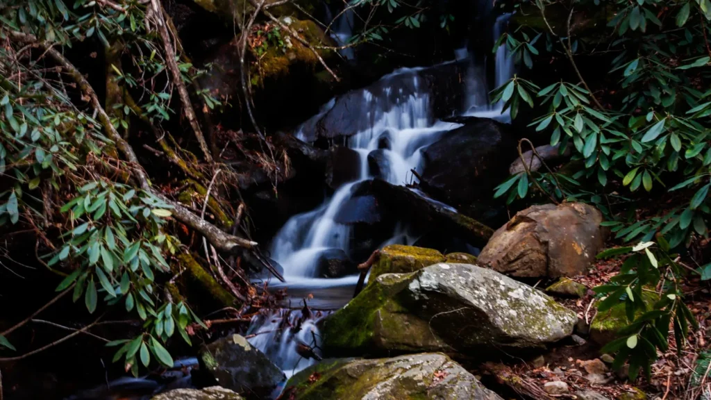
The photo at the top of this page is not Toccoa River.
It is a regional stand-in, honestly captioned but generic — we will not put a name to a river we cannot prove. Send us a photograph you took here and it replaces the stand-in, with your credit on it.
Pioneer badgeUnclaimed
Add a photo of this water
Landscape, not fish — the water itself. Reviewed by hand before it appears. The first one published here earns the Pioneer badge.
Fished this water? Add a photo
Reviewed by hand before it appears. Pick the water, not the spot — we never publish exact locations.
Access
Deep Hole Recreation Area, GA Highway 60 - the standard put-in for the canoe trail, USFS campground and river access.
Sandy Bottom canoe access, Old Dial Road - the main take-out and the lower boundary of the delayed-harvest section.
Shallowford Bridge, Shallowford Bridge Road off Aska Road - mid-river landmark; the delayed-harvest water starts 0.4 miles above it.
Old Dial Road generally - follows the river for several miles with pull-offs and wade access on national forest frontage.
Toccoa River swinging bridge at the Benton MacKaye Trail - foot access to the upper river above the float section.
GA Highway 60 south toward Suches - roadside access to the smaller headwater reaches and feeder streams.
USGS 03558000 near Dial sits at the head of the float; below about 350 cfs the drift-boat run gets thin.
Seasons
Spring: the best of the year. Delayed harvest runs through 14 May with heavy holdover fish, hatches build through March and April, and smallmouth start moving up from Lake Blue Ridge as the water warms.
Summer: bass water. Trout fishing gets marginal in the warmest weeks on the lower float; smallmouth and spotted bass fish well, and the river is at its most floatable for anglers who do not mind sharing it with paddlers.
Fall: cooling water brings the trout back on, and delayed harvest reopens 1 November. Low, clear water through October rewards a careful approach.
Winter: the delayed-harvest section is the reason to be here. Catch-and-release, single-hook artificials, stocked through the season, and floatable whenever flow allows.
From the water
No logged trips yet. Be the first to put this water on your map.
Log this water
Fished it or cleaned it? Log in or create a free account to log a trip with photos and earn the waterway badge.
Questions
What is the current flow on the Toccoa River?
As of Oct 22, 12:30 am, the USGS gauge TOCCOA RIVER NEAR DIAL, GA reads 161 cfs. Conditions update every 15 minutes.
What species can you catch on the Toccoa River?
Anglers target Brook Trout, Brown Trout, Rainbow Trout, Smallmouth Bass, Spotted Bass on the Toccoa River in Georgia.
Are there fishing guides on the Toccoa River?
GuidedFloats lists 9 guides and outfitters on the Toccoa River. Claimed profiles accept booking requests; unclaimed profiles are built from public records and link to the business.
Where can you access the Toccoa River?
Deep Hole Recreation Area, GA Highway 60 - the standard put-in for the canoe trail, USFS campground and river access. Sandy Bottom canoe access, Old Dial Road - the main take-out and the lower boundary of the delayed-harvest section. Shallowford Bridge, Shallowford Bridge Road off Aska Road - mid-river landmark; the delayed-harvest water starts 0.4 miles above it. Old Dial Road generally - follows the river for several miles with pull-offs and wade access on national forest frontage. Toccoa River swinging bridge at the Benton MacKaye Trail - foot access to the upper river above the float secti...
When is the best time to fish the Toccoa River?
Spring: the best of the year. Delayed harvest runs through 14 May with heavy holdover fish, hatches build through March and April, and smallmouth start moving up from Lake Blue Ridge as the water warms. Summer: bass water. Trout fishing gets marginal in the warmest weeks on the lower float; smallmouth and spotted bass fish well, and the river is at its most floatable for anglers who do not mind sharing it with paddlers. Fall: cooling water brings the trout back on, and delayed harvest reopens 1 November. Low, clear water through October rewards a careful approach. Winter: the delayed-harvest s...
Where are the fishing regulations for the Toccoa River?
Regulations change by season and section. Read the current rules on the Georgia agency site: https://gadnr.org/fishing-regulations