Fishes Henrys Fork, Teton River
River · Upper Snake River plain in Fremont and Teton counties, eastern Idaho, from Teton Valley through the canyon to the confluence with Henrys Fork near St. Anthony · Idaho
Teton River Fishing Guides
An eastern Idaho cutthroat river of two distinct halves - a slow meadow fishery in Teton Valley and a fast canyon below it - gauged on the lower river near St. Anthony.
Map of the Teton River
21 numbered points: 9 access points, 3 bait & fly shops, 5 bridges, 3 hazards, 1 USGS gauge. Tap a marker for details. Reviewed Sep 16, 2026.
- Access / boat ramp (9)
- Bait, tackle & fly shop (3)
- Bridge crossing (5)
- Dam / hazard (3)
- USGS gauge (1)
Map data © OpenStreetMap contributors. Points are curated from OpenStreetMap and state agency sources; confirm access and hours before you go.
Print it. Bag it. Bring it.Phones die, screens crack, and most of this water has no signal. Print this map, fold it into a zip-top bag or dry bag with your license, and you have a backup your electronics can’t give you. Every marker is numbered so you can say exactly where you are.
Open the printable mapAll 21 points on this map
| # | Point | Type | Lat, Lon | Notes |
|---|---|---|---|---|
| 1 | WorldCast Anglers 38 West Center Street, Victor | Bait, tackle & fly shop | 43.60249, -111.11225 | Fly shop and guide service at the top of the valley. |
| 2 | Victor Emporium 45 North Main Street, Victor | Bait, tackle & fly shop | 43.60354, -111.11159 | General store with a fly-fishing and tackle counter — and the soda fountain everyone stops at. |
| 3 | Fox Creek East IDFG access site | Access / boat ramp | 43.65036, -111.16683 | |
| 4 | Fox Creek West IDFG access site | Access / boat ramp | 43.65556, -111.17843 | |
| 5 | Teton Creek Access (Nickerson Bridge) IDFG / IDPR · South Bates Road | Access / boat ramp | 43.69602, -111.16571 | IDFG files it as Teton Creek, IDPR as Nickerson Bridge; the two records are 22 m apart, at the South Bates Road crossing. |
| 6 | TRR Outfitters — Driggs Fly Shop 76 North Main Street, Driggs | Bait, tackle & fly shop | 43.72411, -111.11118 | Fly shop in Driggs, about 5 km east of the river. |
| 7 | Bates Bridge IDFG / IDPR access site | Access / boat ramp | 43.72356, -111.18721 | One of the standard Teton Basin put-ins. |
| 8 | Rainey Bridge IDFG access site | Access / boat ramp | 43.75192, -111.20489 | |
| 9 | Horseshoe Bridge IDFG access site | Access / boat ramp | 43.77197, -111.20325 | |
| 10 | Cache Bridge IDFG / IDPR · West 4000 North | Access / boat ramp | 43.78124, -111.20997 | The usual take-out for the upper basin float. |
| 11 | Harrops Bridge IDFG access site · State Highway 33 | Access / boat ramp | 43.82511, -111.23304 | Bottom of the meadow reach, at the Highway 33 crossing. IDFG lists it as an access site, not as a rule boundary. |
| 12 | Felt Dam Diversion dam in the canyon | Dam / hazard | 43.90750, -111.28460 | Portage or take out above it. |
| 13 | Spring Hollow IDFG access site | Access / boat ramp | 43.94699, -111.35099 | Canyon access below Felt. |
| 14 | Linderman Dam Diversion dam | Dam / hazard | 43.92781, -111.38585 | |
| 15 | Teton Dam site Bureau of Reclamation | Dam / hazard | 43.91399, -111.53699 | The abutments of the dam that failed in June 1976 still stand on both walls of the canyon. |
| 16 | North 2750 East Bridge County road crossing | Bridge crossing | 43.93413, -111.60836 | |
| 17 | USGS gauge — Teton River near St. Anthony Station 13055000 | USGS gauge | 43.92722, -111.61389 | |
| 18 | North 7th East Bridge St. Anthony | Bridge crossing | 43.88983, -111.73787 | |
| 19 | Eastern Idaho Railroad — Yellowstone Subdivision Railroad crossing at St. Anthony | Bridge crossing | 43.89059, -111.73886 | |
| 20 | North Salem Road Bridge County road crossing | Bridge crossing | 43.88249, -111.77786 | |
| 21 | North 2000 West Bridge Last crossing above the mouth | Bridge crossing | 43.88665, -111.81799 |
Guides on the Teton River
Claimed profiles take booking requests. Unclaimed profiles are built from public records so the river is never empty; the guide can claim or remove one any time.
About the Teton River
The Teton River has two personalities, and anglers should know which one they are booking. Above the canyon, in Teton Valley between Driggs and Tetonia, it is a slow, weedy, spring-influenced meadow river that fishes like a spring creek and holds a famous population of native Yellowstone cutthroat. Below Felt the river drops into a steep basalt canyon, picks up gradient and speed, and becomes a very different piece of water – broken, fast and much harder to wade. It then leaves the canyon and runs out across the plain to join the Henrys Fork near St. Anthony.
This gauge sits on that lower reach near St. Anthony, below the canyon and below the site of the Teton Dam that failed in 1976. The number it reports is the whole basin’s output, not the meadow water most guides actually fish. That distinction matters because the two reaches respond very differently: the valley water is buffered by spring inflow and stays fishable when the canyon is blown out with runoff. Anglers reading this gauge should treat it as a basin-wide indicator rather than as a direct read on conditions in the upper river.
The fishing itself is excellent and well served by outfitters in Driggs and Victor. Yellowstone cutthroat are the headline and the reason the valley reach carries a strong catch-and-release ethic. Rainbows are present and hybridise with them, brown trout show up in the lower river, brook trout occupy the small tributaries, and mountain whitefish are everywhere and worth catching in winter. Summer means big attractor dries and, in a good year, one of the better salmonfly and green drake windows in eastern Idaho. The gauge reports discharge and stage but carries no water temperature series.
This water needs a real photo
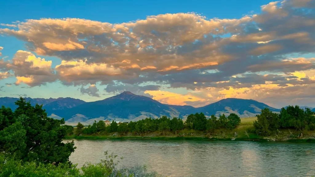
The photo at the top of this page is not Teton River.
It is a regional stand-in, honestly captioned but generic — we will not put a name to a river we cannot prove. Send us a photograph you took here and it replaces the stand-in, with your credit on it.
Pioneer badgeUnclaimed
Add a photo of this water
Landscape, not fish — the water itself. Reviewed by hand before it appears. The first one published here earns the Pioneer badge.
Fished this water? Add a photo
Reviewed by hand before it appears. Pick the water, not the spot — we never publish exact locations.
Access
Highway 20 bridge near St. Anthony - closest access to the gauge on the lower river.
Teton Dam site overlook and river access road - canyon-reach access below the failed dam.
Bates Bridge near Tetonia - the standard take-out for the Teton Valley float.
Harrops Bridge near Driggs - main valley put-in with parking.
Cache Bridge off Highway 33 - mid-valley access and a common float segment marker.
Rainey Bridge north of Driggs - upper valley access to the meadow water.
Felt access at the head of the canyon - the transition point between the two reaches.
Seasons
Spring: high, dirty runoff in the canyon and lower river, with the spring-fed valley water clearing first.
Summer: the main season, with salmonfly and drake hatches and consistent dry-fly cutthroat fishing in the valley.
Fall: excellent streamer and hopper fishing, cooler water and far less pressure after Labor Day.
Winter: limited access and low flows, with whitefish and midge fishing for anglers who will walk in.
From the water
No logged trips yet. Be the first to put this water on your map.
Log this water
Fished it or cleaned it? Log in or create a free account to log a trip with photos and earn the waterway badge.
Questions
What is the current flow on the Teton River?
As of Sep 17, 6:15 am, the USGS gauge TETON RIVER NR ST ANTHONY ID reads 393 cfs. Conditions update every 15 minutes.
What species can you catch on the Teton River?
Anglers target Brook Trout, Brown Trout, Mountain Whitefish, Rainbow Trout, Yellowstone Cutthroat Trout on the Teton River in Idaho.
Are there fishing guides on the Teton River?
GuidedFloats lists 3 guides and outfitters on the Teton River. Claimed profiles accept booking requests; unclaimed profiles are built from public records and link to the business.
Where can you access the Teton River?
Highway 20 bridge near St. Anthony - closest access to the gauge on the lower river. Teton Dam site overlook and river access road - canyon-reach access below the failed dam. Bates Bridge near Tetonia - the standard take-out for the Teton Valley float. Harrops Bridge near Driggs - main valley put-in with parking. Cache Bridge off Highway 33 - mid-valley access and a common float segment marker. Rainey Bridge north of Driggs - upper valley access to the meadow water. Felt access at the head of the canyon - the transition point between the two reaches.
When is the best time to fish the Teton River?
Spring: high, dirty runoff in the canyon and lower river, with the spring-fed valley water clearing first. Summer: the main season, with salmonfly and drake hatches and consistent dry-fly cutthroat fishing in the valley. Fall: excellent streamer and hopper fishing, cooler water and far less pressure after Labor Day. Winter: limited access and low flows, with whitefish and midge fishing for anglers who will walk in.
Where are the fishing regulations for the Teton River?
Regulations change by season and section. Read the current rules on the Idaho agency site: https://idfg.idaho.gov/rules/fish