Pee Dee River Fishing Guides
The big Piedmont tailwater below Lake Tillery, with a heavy spring shad and striper run, trophy blue catfish and consistent current from the Falls dam release.
Map of the Pee Dee River
6 numbered points: 5 access points, 1 USGS gauge. Tap a marker for details. Reviewed Sep 25, 2026.
- Access / boat ramp (5)
- USGS gauge (1)
Print it. Bag it. Bring it.Phones die, screens crack, and most of this water has no signal. Print this map, fold it into a zip-top bag or dry bag with your license, and you have a backup your electronics can’t give you. Every marker is numbered so you can say exactly where you are.
Open the printable mapAll 6 points on this map
| # | Point | Type | Lat, Lon | Notes |
|---|---|---|---|---|
| 1 | Pee Dee River at Hwy 731 below Lake Tillery USGS 021237840 - real-time stage and flow | USGS gauge | 35.20067, -80.06181 | Roster gauge for this water, at the head of the tailwater. This reach rises fast on a Tillery release. |
| 2 | Clarks Creek Access Duke Energy Progress - 1 launch lane | Access / boat ramp | 35.20179, -80.06072 | Duke Energy ramp just below Lake Tillery with a paddle carry-down. Shallow, rocky water subject to sudden rise and violent turbulence on dam releases. |
| 3 | Red Hill Access NC Wildlife Resources Commission - 1 launch lane | Access / boat ramp | 35.08460, -79.99864 | WRC ramp in Anson County, the middle of the Tillery-to-Blewett Falls reach. |
| 4 | Blewetts Grave Access Duke Energy Progress - 1 launch lane | Access / boat ramp | 34.98740, -79.87514 | Duke Energy ramp above Blewett Falls Lake. Very shallow - car-top boats and canoes only. |
| 5 | Rockingham Access Duke Energy Progress - 1 launch lane | Access / boat ramp | 34.94567, -79.86907 | Duke Energy ramp in Richmond County. |
| 6 | Diggs Access NC Wildlife Resources Commission - 1 launch lane | Access / boat ramp | 34.86539, -79.87912 | WRC ramp at the bottom of the reach, below Blewett Falls. |
Guides on the Pee Dee River
Claimed profiles take booking requests. Unclaimed profiles are built from public records so the river is never empty; the guide can claim or remove one any time.
No guides listed yet
Guide or outfit this water? Create your profile. Listing is free, the commission is 10% or 7% with a premium profile, and premium profiles list first on this water.
About the Pee Dee River
The Pee Dee below Lake Tillery is one of the most productive stretches of river in the North Carolina Piedmont, and it fishes on a scale that surprises anglers who expect a small inland river. The Yadkin becomes the Pee Dee at the top of this system, and below Falls Dam at Lake Tillery the river runs wide and strong southeast past Norwood, through the Pee Dee National Wildlife Refuge, down to Blewett Falls Lake and on into South Carolina. This gauge sits on that release reach at the Highway 731 crossing.
The spring run is the headline. American shad push up from the coast in enormous numbers in March and April and stack below the dams, and they are followed by striped bass, hybrids and white bass working the same current seams. Guides book that window hard. Through the rest of the year the catfishing carries the river: blue catfish here reach genuinely large sizes and are targeted from anchored boats in the deep channel, with flatheads on the wood and channel cats everywhere. Largemouth, spotted and smallmouth bass hold on the rock and the current breaks.
Everything follows the generation schedule at Falls Dam, so read the gauge on the day rather than the week. It reports discharge, stage and water temperature, and the temperature is a useful predictor of when the shad will arrive. This is a big river with strong current when the dam is running, and it is boat water rather than wading water through almost all of the reach. The wildlife refuge below Norwood adds good bank access and a genuinely wild feel to a river running through farm country. Book the shad window early, because the small number of guides who run this river are effectively sold out from the middle of March through the end of April.
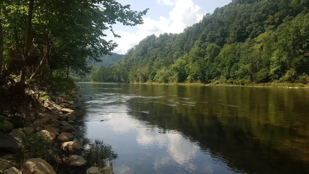
This water needs a real photo
The photo at the top of this page is not Pee Dee River.
It is a regional stand-in, honestly captioned but generic — we will not put a name to a river we cannot prove. Send us a photograph you took here and it replaces the stand-in, with your credit on it.
Add a photo of this water
Landscape, not fish — the water itself. Reviewed by hand before it appears. The first one published here earns the Pioneer badge.
Fished this water? Add a photo
Reviewed by hand before it appears. Pick the water, not the spot — we never publish exact locations.
Access
The Falls Dam tailrace below Lake Tillery - the main access for the spring shad and striper run.
The Highway 731 crossing near Norwood - bank and ramp access at the gauge.
Pee Dee National Wildlife Refuge - bank access and a quiet stretch of the middle river.
Lake Tillery public ramps - powerboat access to the impoundment above the dam.
Blewett Falls Lake ramps near Rockingham - access to the lower impoundment.
The Highway 74 crossing near Rockingham - bank access on the lower river.
Pee Dee River access below Blewett Falls - the lowest North Carolina reach before the state line.
Seasons
Spring: the shad and striper run below the dam, heavy generation and the busiest fishing of the year.
Summer: warm and often strong current, with excellent blue and flathead catfishing day and night.
Fall: cooling water, good bass fishing on the current breaks and much lighter boat traffic.
Winter: cold and steady, with big blue catfish concentrated in the deep channel holes.
From the water
No logged trips yet. Be the first to put this water on your map.
Log this water
Fished it or cleaned it? Log in or create a free account to log a trip with photos and earn the waterway badge.
Questions
What is the current flow on the Pee Dee River?
As of Nov 2, 5:30 am, the USGS gauge PEE DEE R AT HWY731 BL LK TILLERY NR NORWOOD, NC reads 571 cfs, with water temperature 66.2 F. Conditions update every 15 minutes.
What species can you catch on the Pee Dee River?
Anglers target American Shad, Black Crappie, Blue Catfish, Channel Catfish, Flathead Catfish, Hybrid Striped Bass, Largemouth Bass, Longnose Gar, Smallmouth Bass, Spotted Bass, Striped Bass, White Bass on the Pee Dee River in North Carolina.
Where can you access the Pee Dee River?
The Falls Dam tailrace below Lake Tillery - the main access for the spring shad and striper run. The Highway 731 crossing near Norwood - bank and ramp access at the gauge. Pee Dee National Wildlife Refuge - bank access and a quiet stretch of the middle river. Lake Tillery public ramps - powerboat access to the impoundment above the dam. Blewett Falls Lake ramps near Rockingham - access to the lower impoundment. The Highway 74 crossing near Rockingham - bank access on the lower river. Pee Dee River access below Blewett Falls - the lowest North Carolina reach before the state line.
When is the best time to fish the Pee Dee River?
Spring: the shad and striper run below the dam, heavy generation and the busiest fishing of the year. Summer: warm and often strong current, with excellent blue and flathead catfishing day and night. Fall: cooling water, good bass fishing on the current breaks and much lighter boat traffic. Winter: cold and steady, with big blue catfish concentrated in the deep channel holes.
Where are the fishing regulations for the Pee Dee River?
Regulations change by season and section. Read the current rules on the North Carolina agency site: https://www.ncwildlife.gov/fishing/regulations