Fishes McKenzie River
River · Willamette Valley · Oregon
McKenzie River Fishing Guides
The river the McKenzie drift boat was invented for, running clear and cold out of the Cascades past Blue River and Vida to Eugene, with wild redside rainbows the whole way.
Map of the McKenzie River
42 numbered points: 16 access points, 8 campsites, 11 parks and conservation areas, 1 agency office, 5 hazards, 1 USGS gauge. Tap a marker for details. Reviewed Sep 8, 2026.
- Access / boat ramp (16)
- Campsite (8)
- Park / conservation area (11)
- Agency / conservation office (1)
- Dam / hazard (5)
- USGS gauge (1)
Map data © OpenStreetMap contributors. Points are curated from OpenStreetMap and state agency sources; confirm access and hours before you go.
Print it. Bag it. Bring it.Phones die, screens crack, and most of this water has no signal. Print this map, fold it into a zip-top bag or dry bag with your license, and you have a backup your electronics can’t give you. Every marker is numbered so you can say exactly where you are.
Open the printable mapAll 42 points on this map
| # | Point | Type | Lat, Lon | Notes |
|---|---|---|---|---|
| 1 | Sahalie Falls Willamette National Forest | Dam / hazard | 44.34913, -121.99720 | Upper McKenzie waterfall; not runnable, a scenic stop on the McKenzie River Trail. |
| 2 | Koosah Falls Willamette National Forest | Dam / hazard | 44.34461, -122.00058 | Second of the upper McKenzie falls, just below Sahalie. |
| 3 | Ice Cap Creek Campground Willamette National Forest | Campsite | 44.34166, -122.00086 | |
| 4 | Tamolitch Falls Willamette National Forest | Dam / hazard | 44.31227, -122.02629 | Dry falls above the Blue Pool; the river runs underground through the lava above it. |
| 5 | Trail Bridge Dam EWEB hydroelectric project | Dam / hazard | 44.27324, -122.04912 | The upper dam; the classic drift water starts below it. |
| 6 | Olallie Campground Willamette National Forest | Campsite | 44.25759, -122.04026 | |
| 7 | Frissell Boat Launch Willamette National Forest | Access / boat ramp | 44.20509, -122.03995 | Uppermost boat launch on the drift reach. |
| 8 | Belknap Hot Springs tent sites Private resort campground | Campsite | 44.19246, -122.04715 | |
| 9 | Paradise Campground Willamette National Forest | Campsite | 44.18590, -122.09193 | Riverside forest campground above McKenzie Bridge. |
| 10 | Jeannie B. Harris Wayside Lane County | Park / conservation area | 44.17476, -122.15552 | |
| 11 | McKenzie Bridge Campground Willamette National Forest | Campsite | 44.17571, -122.17413 | |
| 12 | Patio RV Park Private campground, McKenzie Bridge | Campsite | 44.17486, -122.19155 | |
| 13 | Holiday Farm RV Resort Private campground, Blue River | Campsite | 44.17023, -122.23688 | |
| 14 | Bruckart Boat Launch Lane County | Access / boat ramp | 44.16385, -122.26042 | |
| 15 | Delta Campground Willamette National Forest | Campsite | 44.16359, -122.28041 | |
| 16 | Hamlin Park Lane County | Park / conservation area | 44.16433, -122.29075 | |
| 17 | Blue River Community Park Blue River | Park / conservation area | 44.15732, -122.33411 | |
| 18 | Forest Glen Landing Lane County | Access / boat ramp | 44.15262, -122.34061 | Drift-boat landing; the county park of the same name is the adjacent day-use ground. |
| 19 | Quartz Creek Picnic Area Lane County | Park / conservation area | 44.12346, -122.38034 | |
| 20 | Finn Rock Park Lane County | Access / boat ramp | 44.12882, -122.38068 | The Finn Rock river access, a standard drift-boat put-in and take-out. |
| 21 | Howard J. Morton Park Lane County | Park / conservation area | 44.12580, -122.38341 | |
| 22 | Clover Park Lane County | Park / conservation area | 44.11327, -122.42222 | |
| 23 | Eagle Rock Park Lane County | Park / conservation area | 44.10884, -122.42669 | |
| 24 | Silver Creek Landing Lane County | Access / boat ramp | 44.11635, -122.44227 | |
| 25 | Rennie's Landing Lane County | Access / boat ramp | 44.12444, -122.46822 | Long-standing McKenzie drift landing. |
| 26 | USGS 14162500 - McKenzie River near Vida USGS streamgage | USGS gauge | 44.12485, -122.47062 | The flow reference for the drift reach; read it before you launch. |
| 27 | Marten Rapids Park Lane County | Park / conservation area | 44.12614, -122.52885 | Beside Marten Rapids, the best-known rapid on the drift reach. |
| 28 | Hatch Landing Lane County | Access / boat ramp | 44.12802, -122.53441 | |
| 29 | Helfrich Landing County Park Lane County | Access / boat ramp | 44.12624, -122.53729 | Named for the McKenzie river-guide family. |
| 30 | EWEB Boat Ramp Eugene Water & Electric Board | Access / boat ramp | 44.14490, -122.58984 | |
| 31 | Leaburg Fish Hatchery Oregon Department of Fish and Wildlife | Agency / conservation office | 44.13570, -122.60951 | |
| 32 | Old McKenzie Fish Hatchery County Park Lane County | Park / conservation area | 44.14179, -122.60979 | |
| 33 | Leaburg Dam EWEB diversion dam | Dam / hazard | 44.13763, -122.61198 | Mandatory take-out above the dam; the canal draws water off river-left. |
| 34 | Greenwood Landing County Park Lane County | Access / boat ramp | 44.12073, -122.63225 | |
| 35 | Leaburg Landing County Park Lane County | Access / boat ramp | 44.10327, -122.68225 | |
| 36 | Deerhorn County Park Lane County | Park / conservation area | 44.09023, -122.71422 | |
| 37 | Emmrich Landing County Park Lane County | Access / boat ramp | 44.07068, -122.77174 | |
| 38 | Hendricks Bridge County Park Lane County | Park / conservation area | 44.05593, -122.82594 | Day-use park and river access at the OR 126 bridge. |
| 39 | Bellinger Boat Launch Lane County | Access / boat ramp | 44.06995, -122.90677 | At Bellinger Landing County Park. |
| 40 | Rodakowski Landing Lane County | Access / boat ramp | 44.07863, -122.99911 | |
| 41 | Harvest Landing Lane County | Access / boat ramp | 44.07737, -123.00684 | |
| 42 | Deadmond Ferry River Access City of Springfield | Access / boat ramp | 44.09069, -123.02451 | Lowest access on this sheet, at the Springfield end of the river. |
Guides on the McKenzie River
Claimed profiles take booking requests. Unclaimed profiles are built from public records so the river is never empty; the guide can claim or remove one any time.
About the McKenzie River
The McKenzie gave its name to the drift boat, and floating it explains why. The river runs west out of the Cascades through basalt and old-growth Douglas fir, cold and green and fast, in a continuous series of riffles, ledges and boulder gardens that a rowed boat handles and a motor never could. It is one of the most beautiful trout floats in the West and one of the easiest to reach, with Eugene less than an hour from most of the good water.
Wild McKenzie redside rainbows are the target and they are genuinely wild fish, protected by wild-fish regulations on much of the river. They hold in fast pocket water, eat dry flies willingly through the summer, and fight above their size in that current. Cutthroat mix in, bull trout live in the upper river and are protected, and summer steelhead and chinook use the system as well. Guided days are float days almost without exception, usually from Paradise or Olallie down through the Blue River and Vida reaches.
Flows at Vida are managed by releases from Cougar and Blue River reservoirs on top of a strong natural base from the Clear Lake springs. Something in the 1,200 to 3,000 cfs range is comfortable working water for most guides. Higher winter and spring flows make the ledges pushy and the takeouts busy; late-summer lows are clear, technical and best fished early. Cold spring-fed water keeps the river fishable through August heat.
Eugene, Springfield, Leaburg and McKenzie Bridge cover lodging and shops along Highway 126. The upper river above Trail Bridge and the Clear Lake headwaters are worth a scenic day even if you never make a cast.
This water needs a real photo
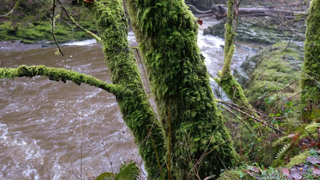
The photo at the top of this page is not McKenzie River.
It is a regional stand-in, honestly captioned but generic — we will not put a name to a river we cannot prove. Send us a photograph you took here and it replaces the stand-in, with your credit on it.
Pioneer badgeUnclaimed
Add a photo of this water
Landscape, not fish — the water itself. Reviewed by hand before it appears. The first one published here earns the Pioneer badge.
Fished this water? Add a photo
Reviewed by hand before it appears. Pick the water, not the spot — we never publish exact locations.
Access
Olallie and Paradise Campgrounds: upper river launches near McKenzie Bridge.
Finn Rock Landing: the standard upper-middle put-in.
Blue River and Rennie Landing: mid-river ramps in the Blue River reach.
Helfrich Landing and Bruckart Landing: popular float segments above Vida.
Leaburg Dam and Greenwood Landing: access around the gauge reach near Vida.
Hendricks Bridge and Hayden Bridge: lower river ramps toward Springfield.
Several reaches are wild-fish only; check current regulations before keeping anything.
Seasons
Year-round on the lower river; the upper river opens in late spring.
April and May: high water, salmonflies on the upper river in late May and June.
June through September: the main dry fly season, caddis and green drakes, warm days and cold water.
October and November: fall colors, blue-winged olives and few boats; winter steelhead fishing is a separate pursuit.
From the water
No logged trips yet. Be the first to put this water on your map.
Log this water
Fished it or cleaned it? Log in or create a free account to log a trip with photos and earn the waterway badge.
Questions
What is the current flow on the McKenzie River?
As of Oct 19, 2:45 am, the USGS gauge MCKENZIE RIVER NEAR VIDA, OR reads 1,690 cfs, the 23rd percentile for this date, with water temperature 51.4 F. Conditions update every 15 minutes.
What species can you catch on the McKenzie River?
Anglers target Bull Trout, Chinook Salmon, Cutthroat Trout, Rainbow Trout, Steelhead on the McKenzie River in Oregon.
Are there fishing guides on the McKenzie River?
GuidedFloats lists 4 guides and outfitters on the McKenzie River. Claimed profiles accept booking requests; unclaimed profiles are built from public records and link to the business.
Where can you access the McKenzie River?
Olallie and Paradise Campgrounds: upper river launches near McKenzie Bridge. Finn Rock Landing: the standard upper-middle put-in. Blue River and Rennie Landing: mid-river ramps in the Blue River reach. Helfrich Landing and Bruckart Landing: popular float segments above Vida. Leaburg Dam and Greenwood Landing: access around the gauge reach near Vida. Hendricks Bridge and Hayden Bridge: lower river ramps toward Springfield. Several reaches are wild-fish only; check current regulations before keeping anything.
When is the best time to fish the McKenzie River?
Year-round on the lower river; the upper river opens in late spring. April and May: high water, salmonflies on the upper river in late May and June. June through September: the main dry fly season, caddis and green drakes, warm days and cold water. October and November: fall colors, blue-winged olives and few boats; winter steelhead fishing is a separate pursuit.
Where are the fishing regulations for the McKenzie River?
Regulations change by season and section. Read the current rules on the Oregon agency site: https://myodfw.com/fishing/regulations